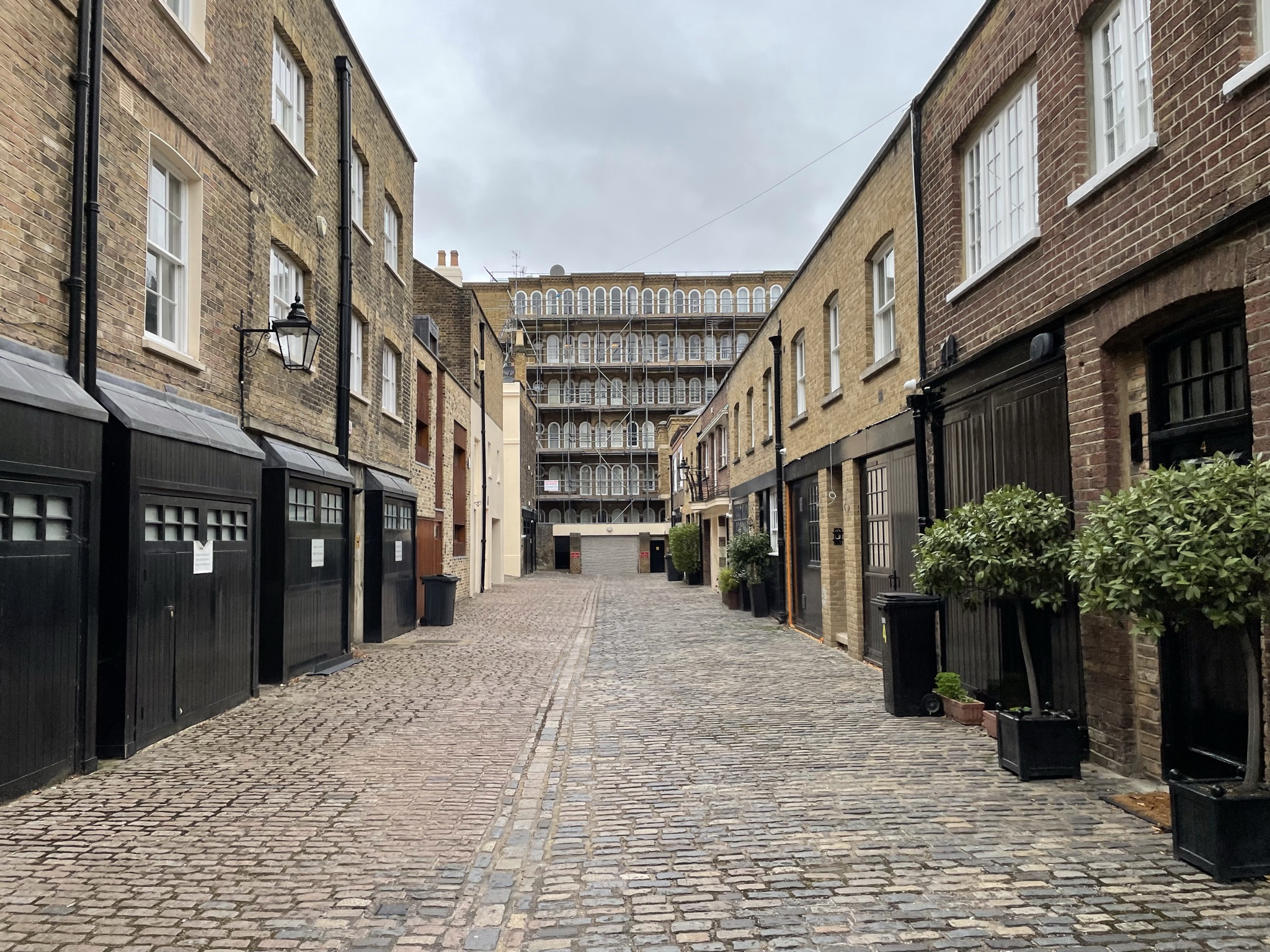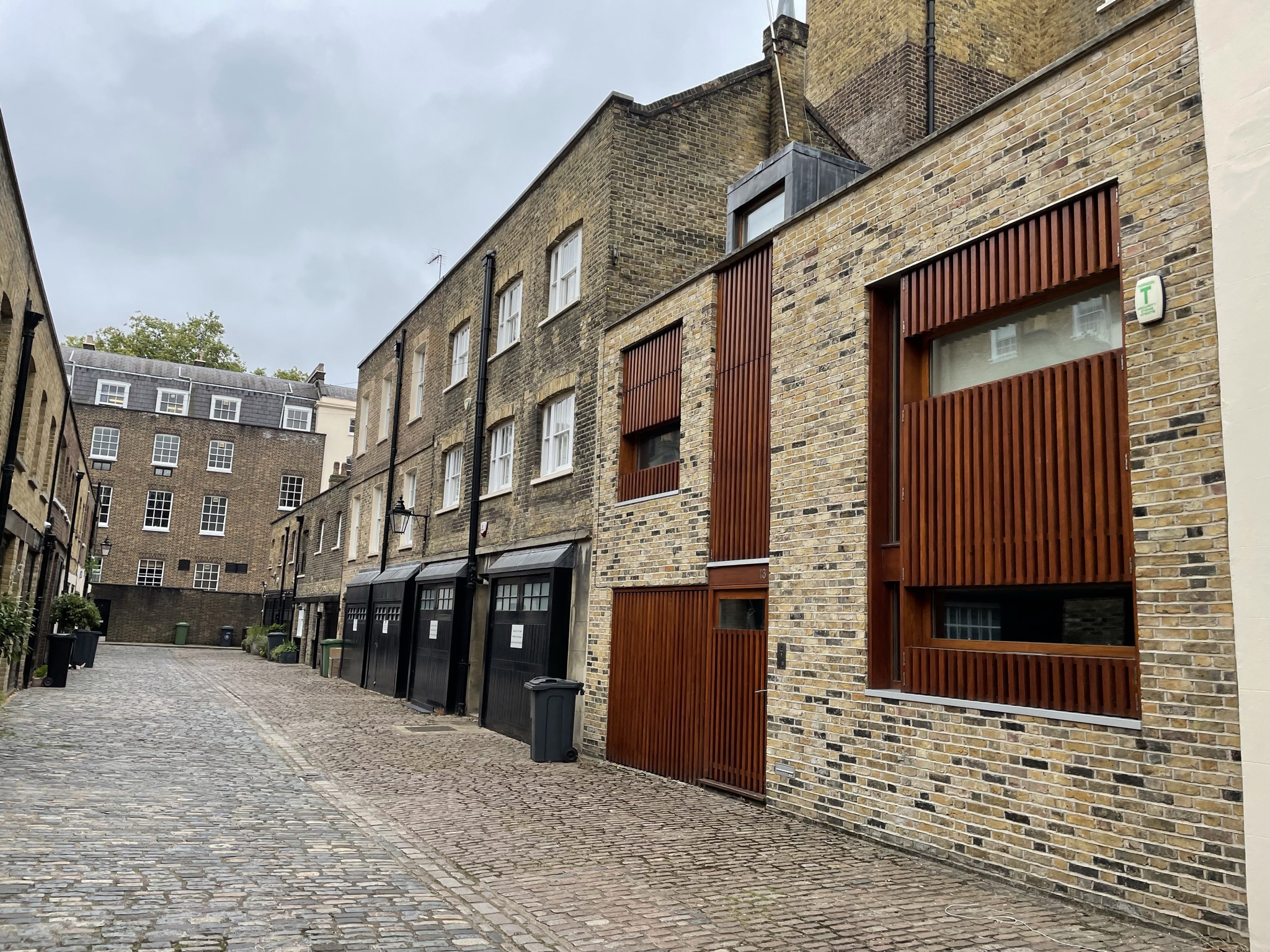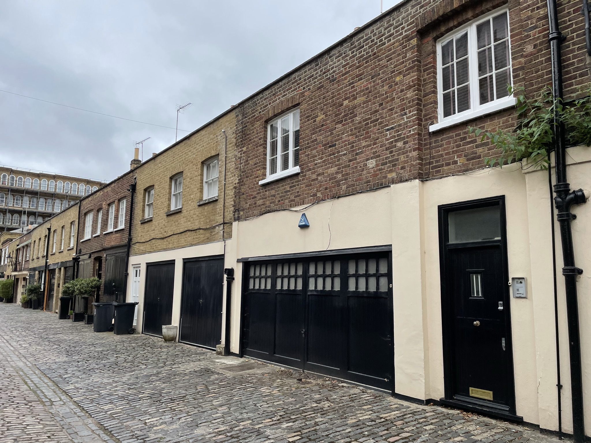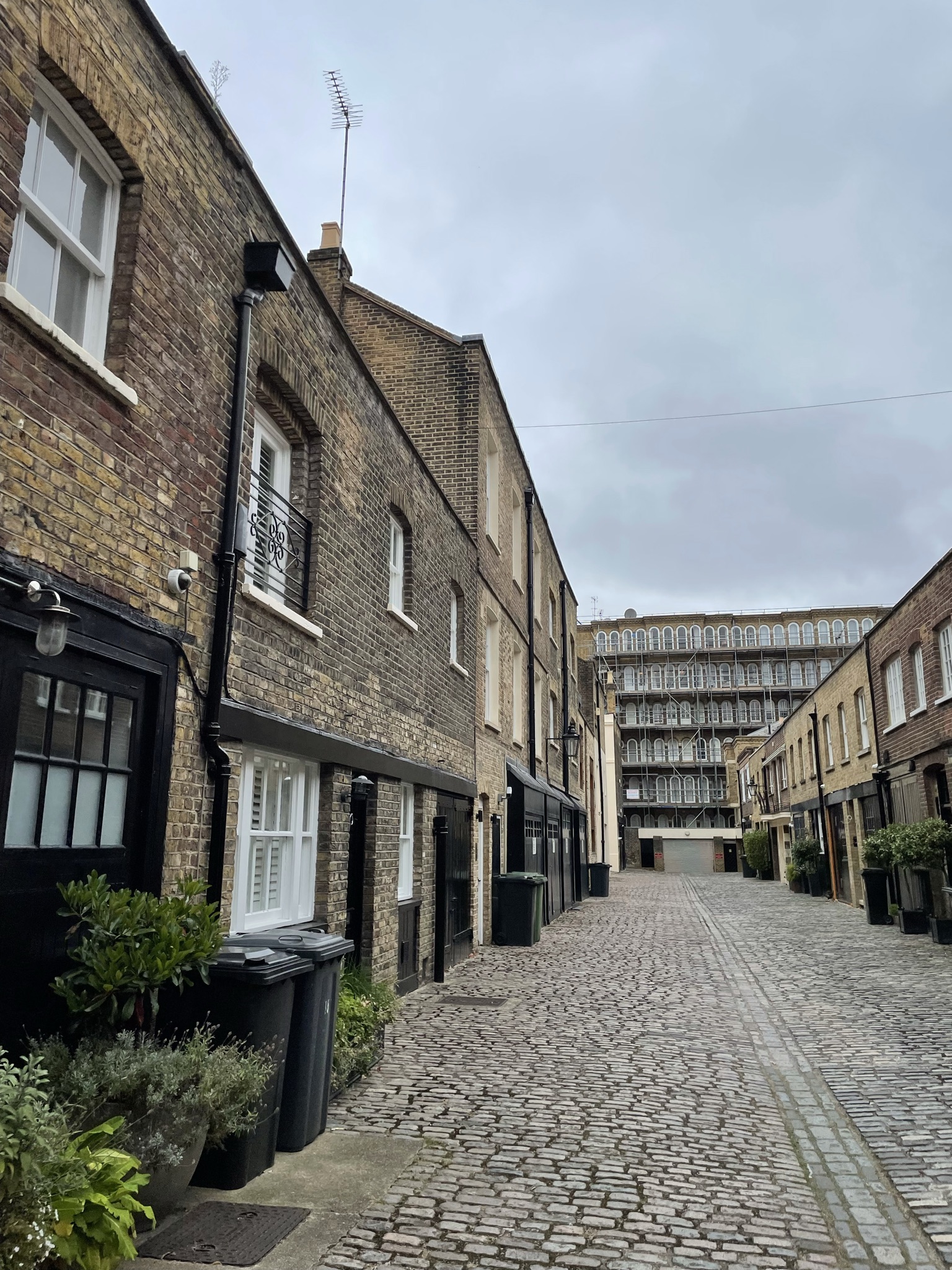
Property Description
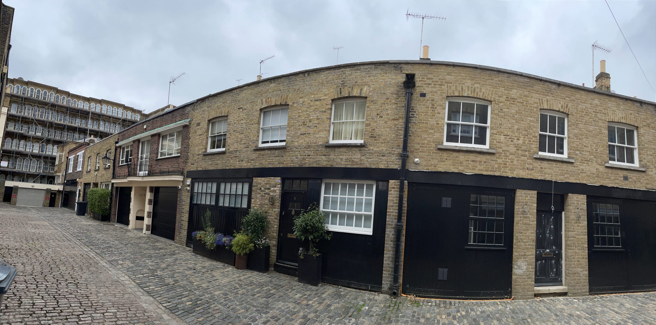
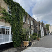
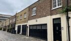
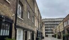
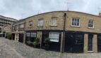
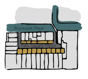
Park Square Mews is a cobbled through road off Brunswick Place in Westminster. There are 14 properties in the Mews, used for residential purposes.
Between October 1940 and June 1941, a high explosive bomb is recorded falling onto York Terrace East, north of and not far from the Mews. The area was noted as being fairly comfortable with good, ordinary household earnings when the London Poverty Maps were first published.
The Mews is part of Westminster City Council’s Regent’s Park Conservation Area, which was designated in 1969 to include Regent’s Park and the adjoining streets. Regent’s Park is over 400 acres in area and nearly circular in form. Around the park runs a road nearly two miles long called Outer Circle with a separate road, the Inner Circle near the centre. The Conservation Area contains over 300 listed buildings including terraces and villas.
The Mews properties consist of two storeys with plain brickwork facades and roofs hidden behind parapet walls. Some of the garages present are intact and the road surface is cobbled.
Everchanging Nature
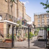
The original purpose of the Mews was to provide stable/ coach house accommodation to the main houses in Park Square West. Now, it is used primarily for residential purposes.
A few planning applications have been made since 2003; internal and external alterations to the properties, roof extensions, changes to the fenestration and the change of use of garages to residential accommodation. Conservation Area controls now apply to new development in the Mews.
Similar Listings