Property Description
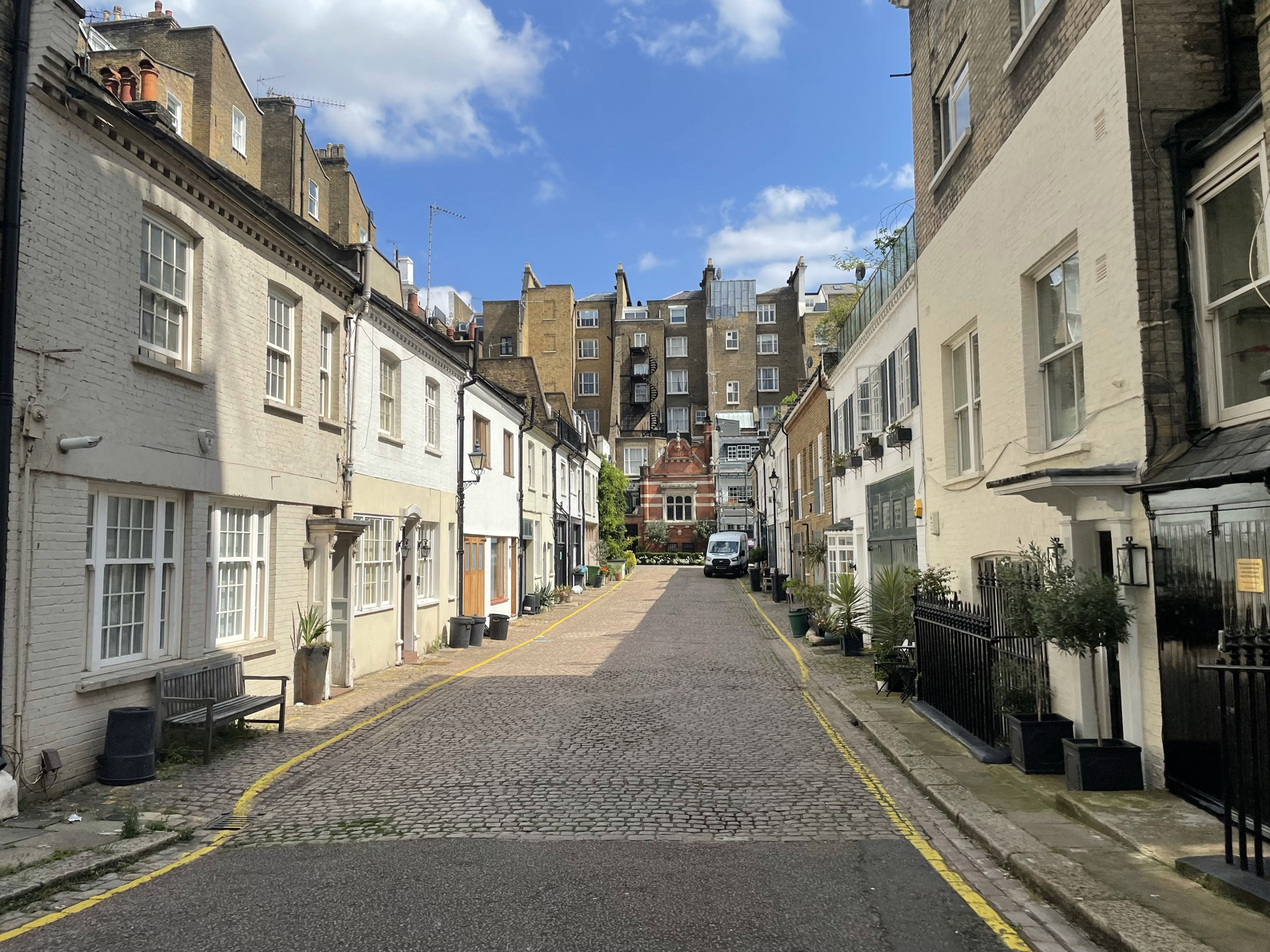
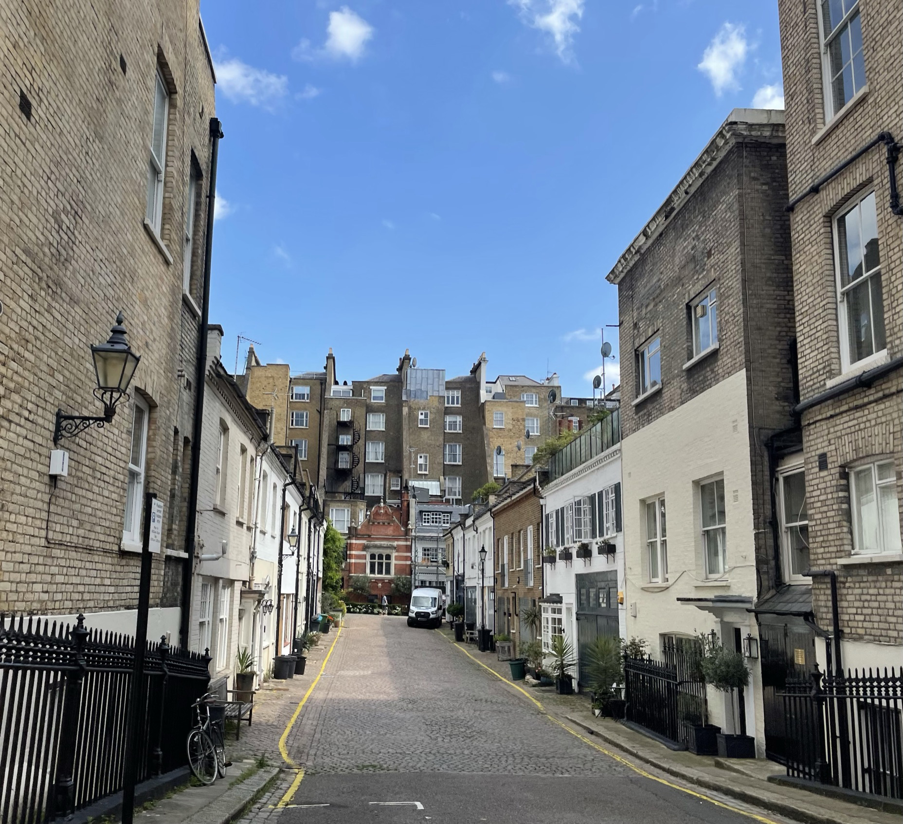
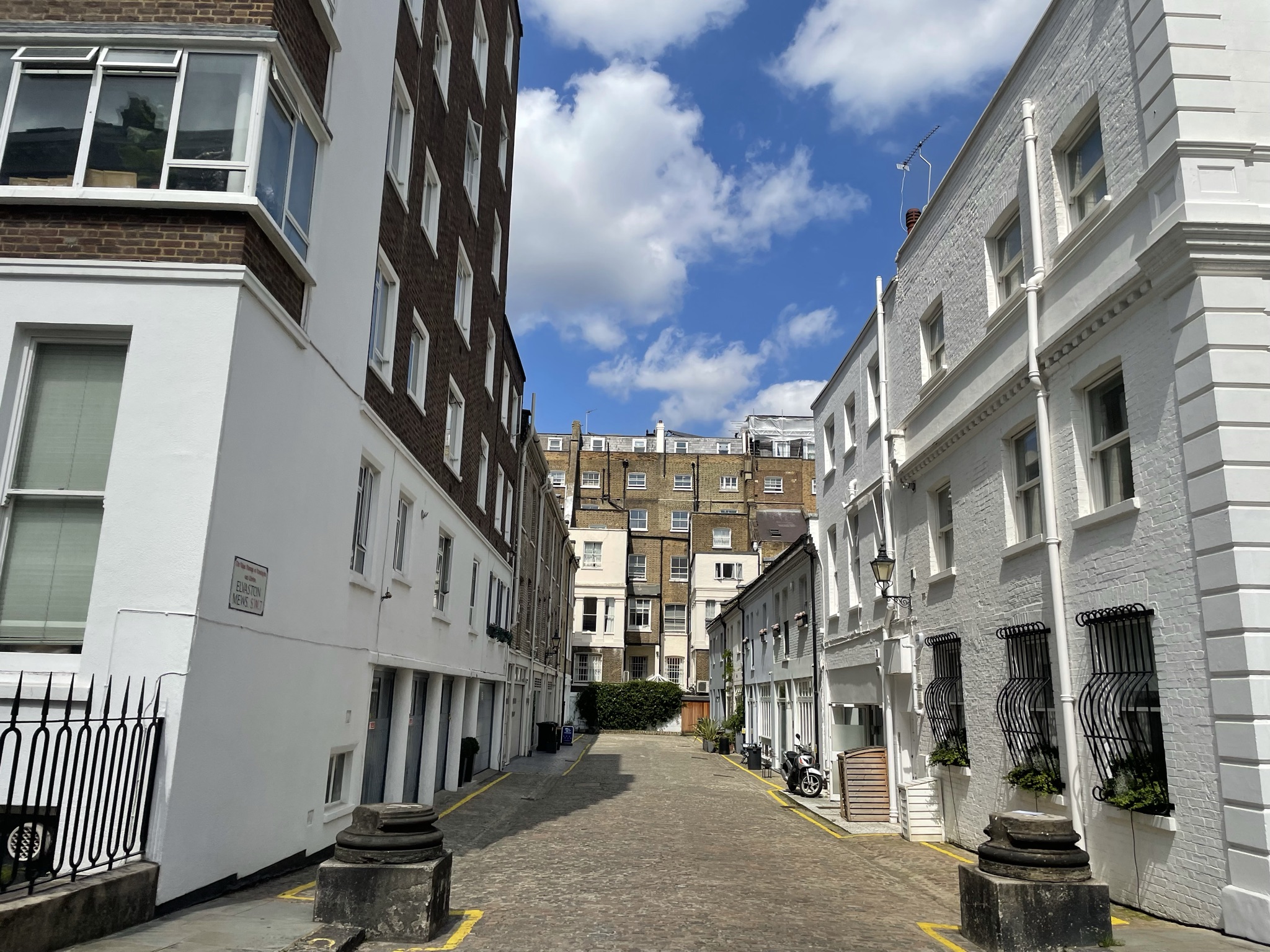
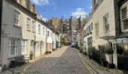
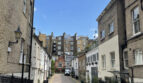
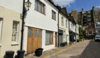
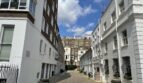
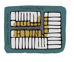
Elvaston Mews consists of a cobbled cul-de-sac and through-road off Elvaston Place in the Royal Borough of Kensington and Chelsea, approached through its own arch. Elvaston Mews contains 31 properties in total, used for residential and commercial purposes and is opposite Petersham Mews, also containing original/ surviving Mews properties.
During World War II, the Aggregate Night Time Bomb Census recorded a high explosive bomb falling directly onto the Mews. In the past, the area was noted as having comfortable living conditions and ordinary household earnings for the time when the London Poverty Maps were first published.
The Mews is part of Kensington’s ‘Queen’s Gate’ Conservation Area. Containing grand terraces, garden squares and intimate Mews, the Conservation Area was designated in 1969. It is bounded in the north and east sides by Westminster and incorporates London’s primary Museums.
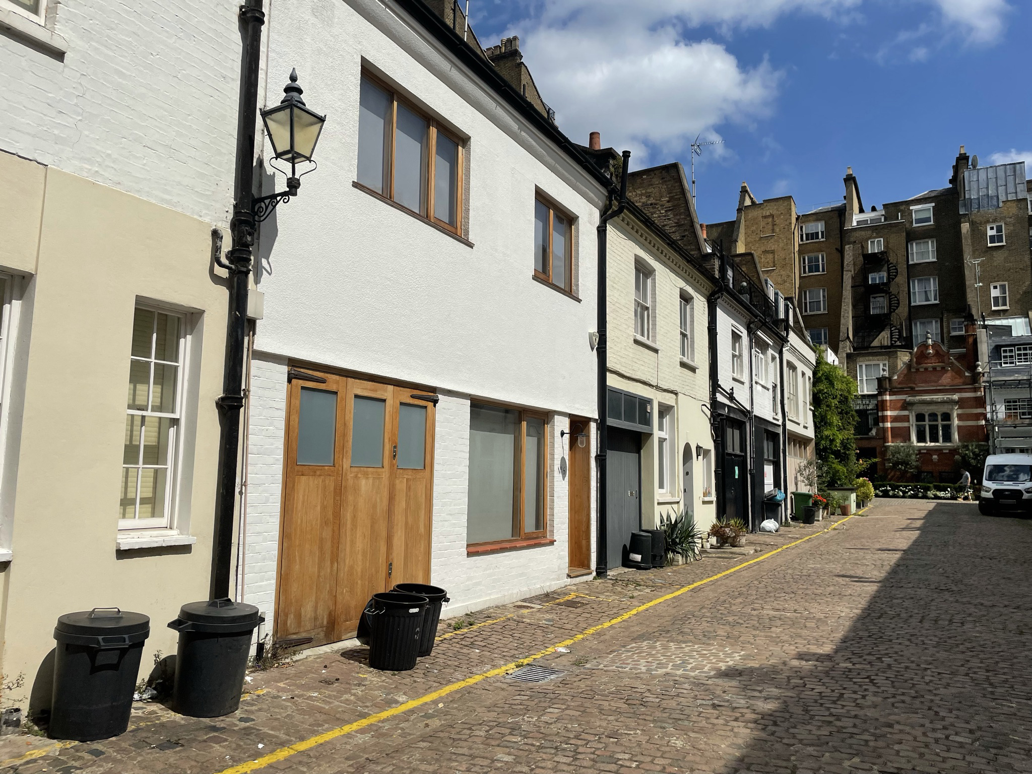
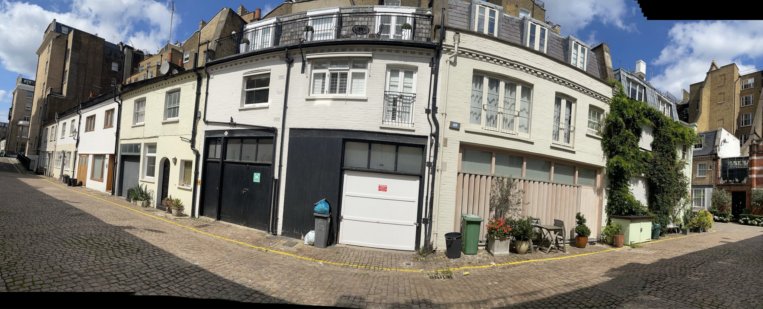
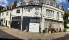
The two, three and four storey properties have plain or painted brickwork facades with a variety of mansard, gable and pitched roof styles, surrounded by a cobbled road surface. There are raised party walls, metal bressumers and the remains of columns at the entrance to the cul-de-sac section.
This was the last but one mews to have a working stables but unfortunately it closed in 2009 and was redeveloped as a residential property. Now only Bathurst and the Royal Mews remain.
Everchanging Nature
Originally used as the coach house/ stable accommodation for the main houses on Elvaston Place and Queen’s Gate Place, the primary purpose of the Mews properties is now a mixture of residential and commercial.
Before and since 2003 there have been many planning applications made for alterations to the properties within the Mews, most notably; basement excavations for additional residential accommodation and alterations to the fenestration. Only since 2008 has one of the properties been used for residential use rather than stables.
Conservation Area controls apply to any new development in the Mews.
Similar Listings