Property Description
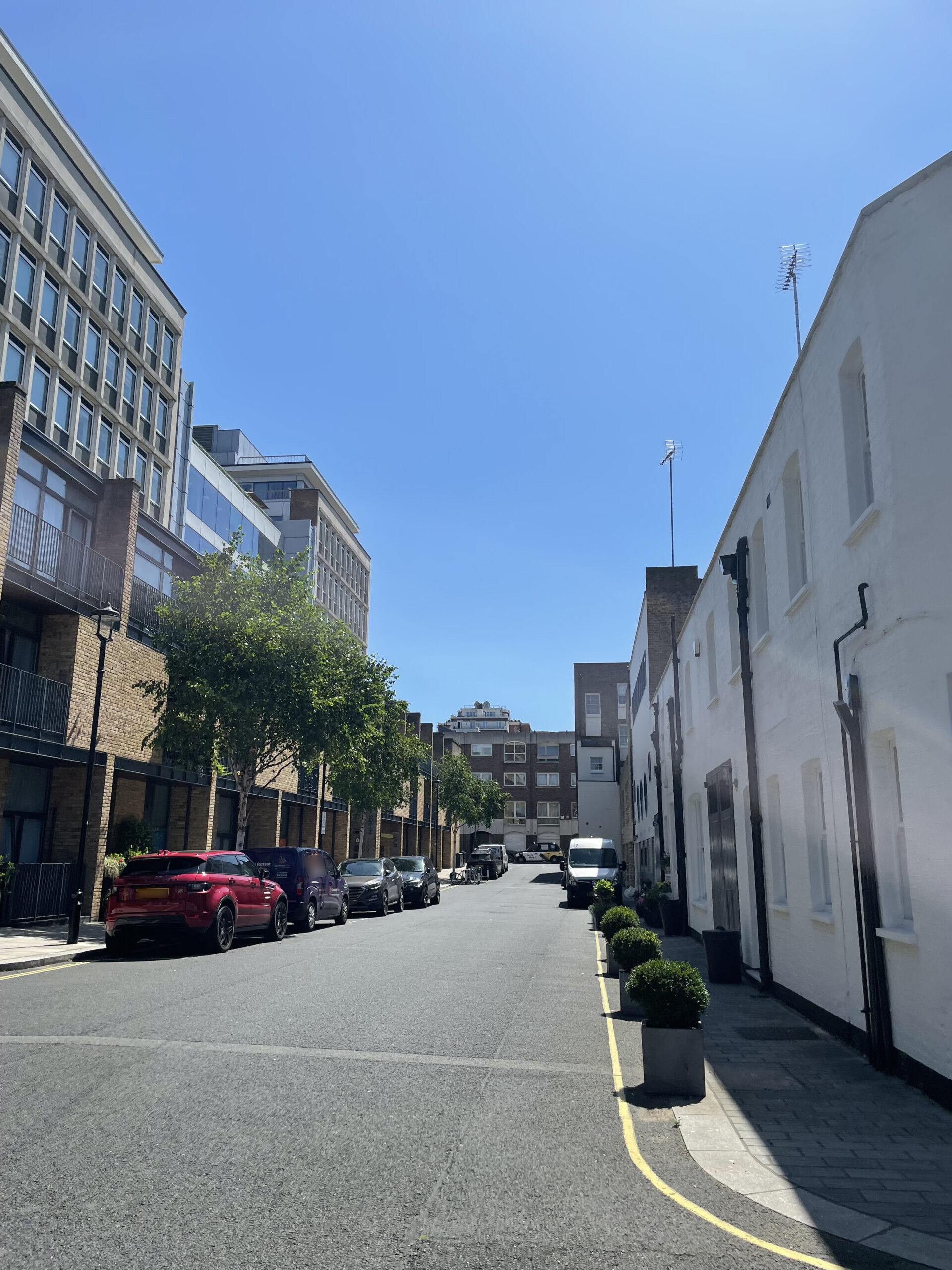
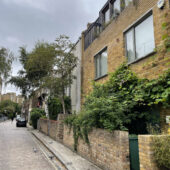
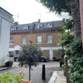
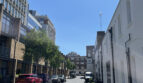
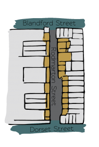
Rodmarton Street is a through road between Blandford Street and Dorset Street in Westminster. The Mews has 36 properties and runs roughly south-north, in line with Clay Street, a redeveloped Mews.
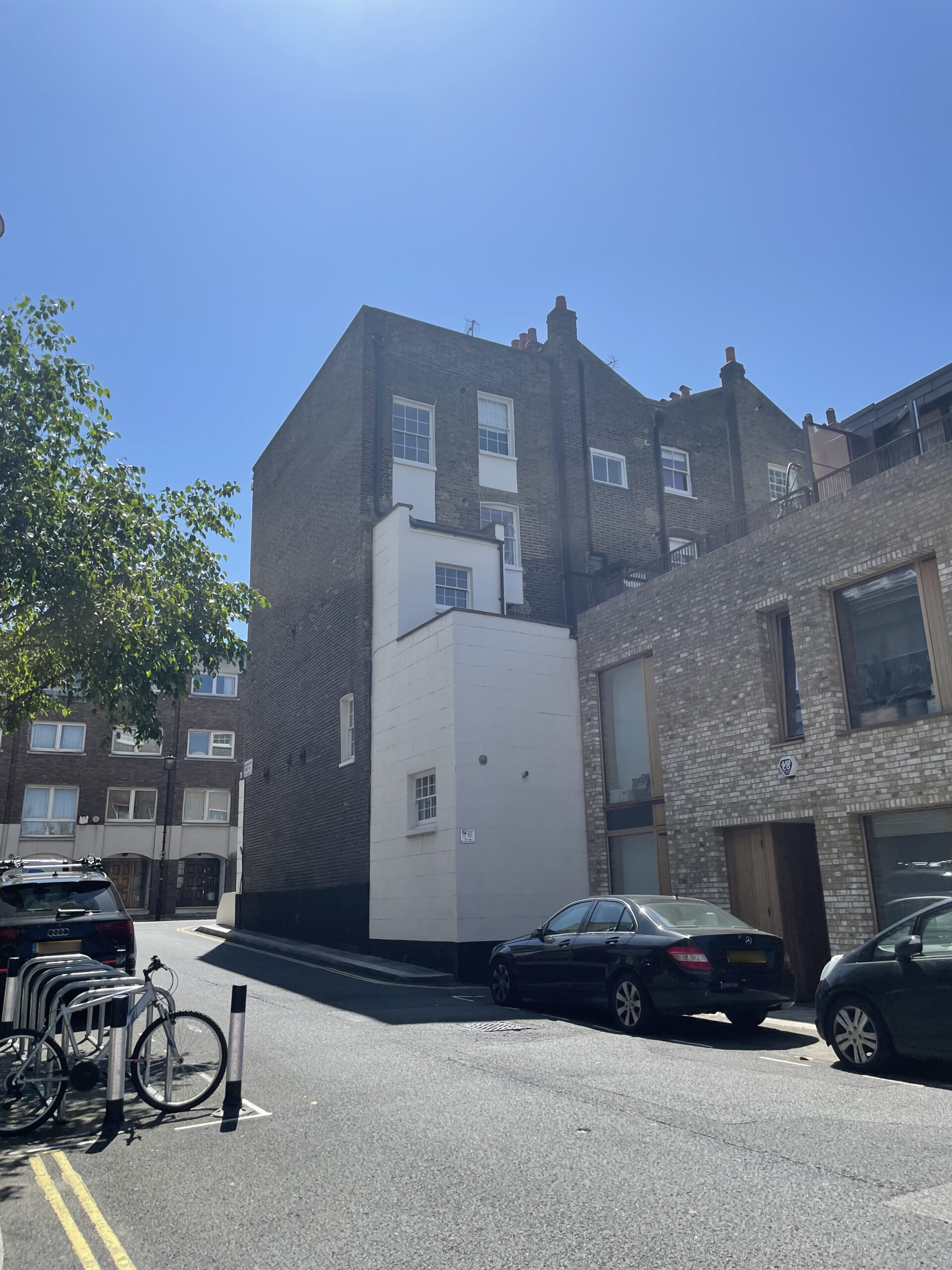
In World War II, a high explosive bomb is recorded falling onto Gloucester Place, just west of the Mews resulting in the buildings having to be rebuilt. The area was regarded as having comfortable living conditions when the London poverty Maps were originally published.
Rodmarton Street is a part of Westminster City Council’s Portman Estate Conservation Area. Situated in the boundaries of Marylebone, which was once covered with forest and marshland, the estate originally comprised about 270 acres and now contains a variety of buildings from different centuries, from many examples of Mews to the grand terraces of Bryanston Square and Montagu Square.
The Beatles’ Help’ (1965) was filmed on Blandford Street and there is also a blue plaque on number 48, erected in 1976 and inscribed ‘MICHAEL FARADAY MAN OF SCIENCE. APPRENTICE HERE. B.1791.D.1867’.
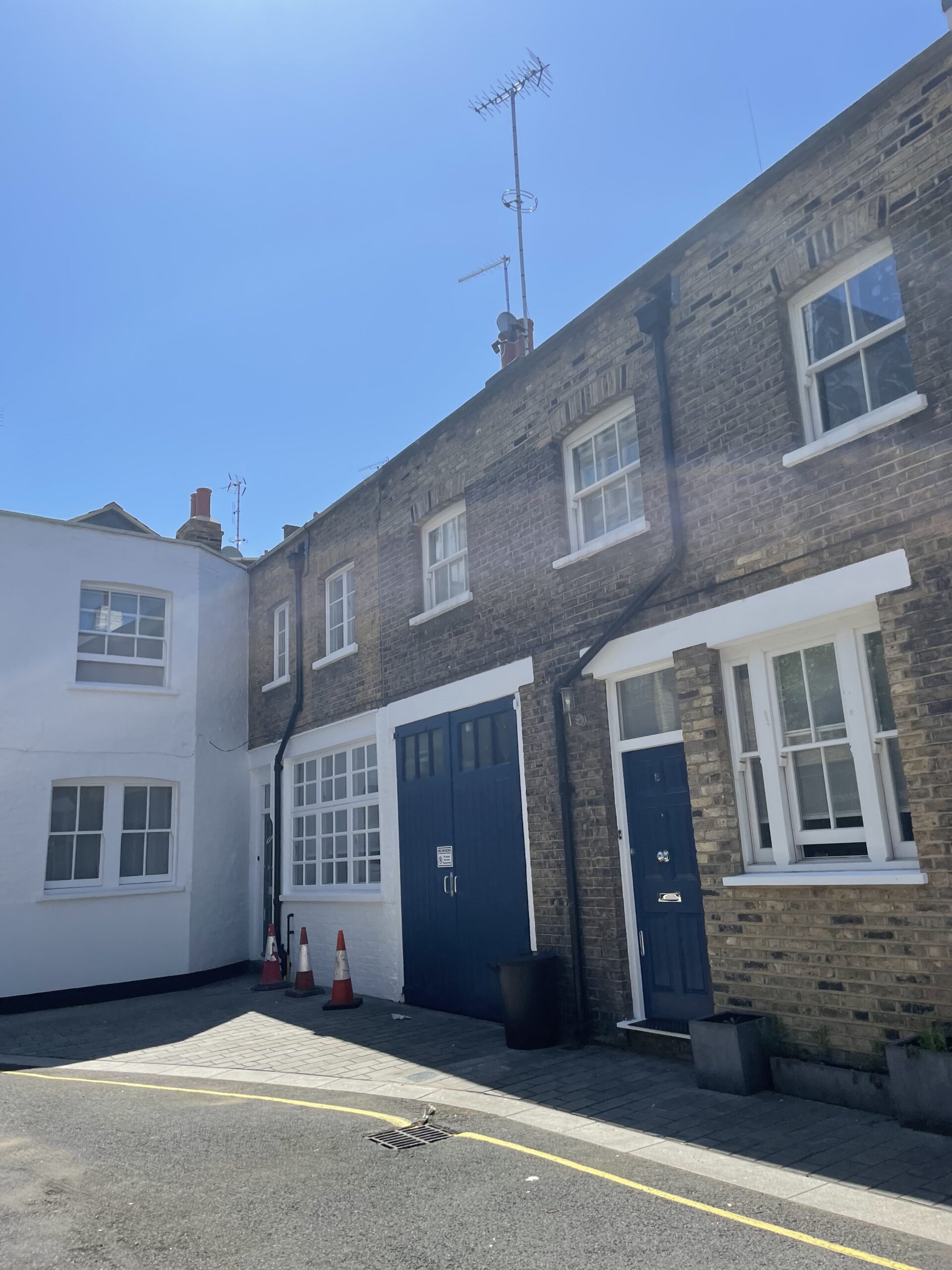
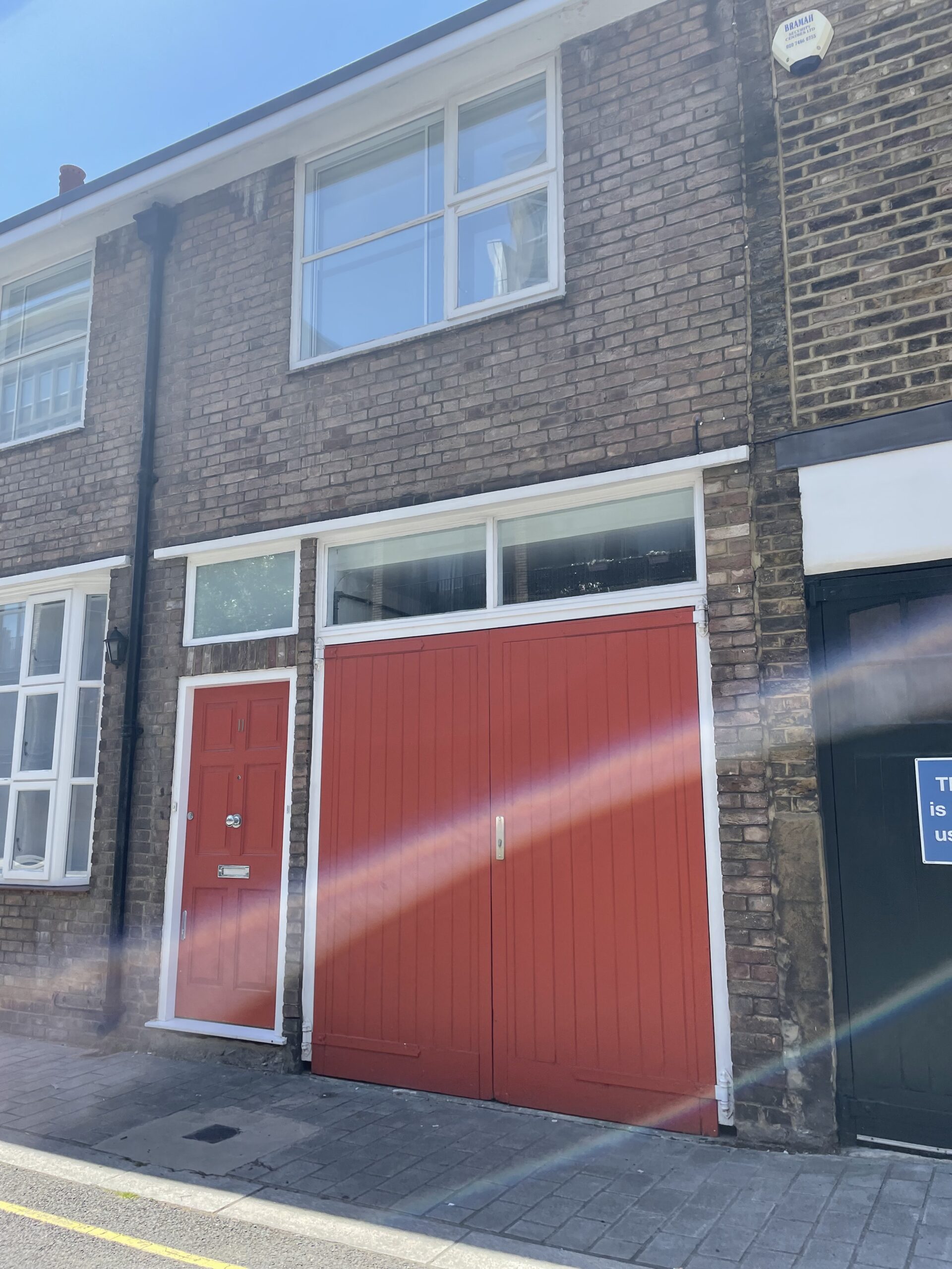
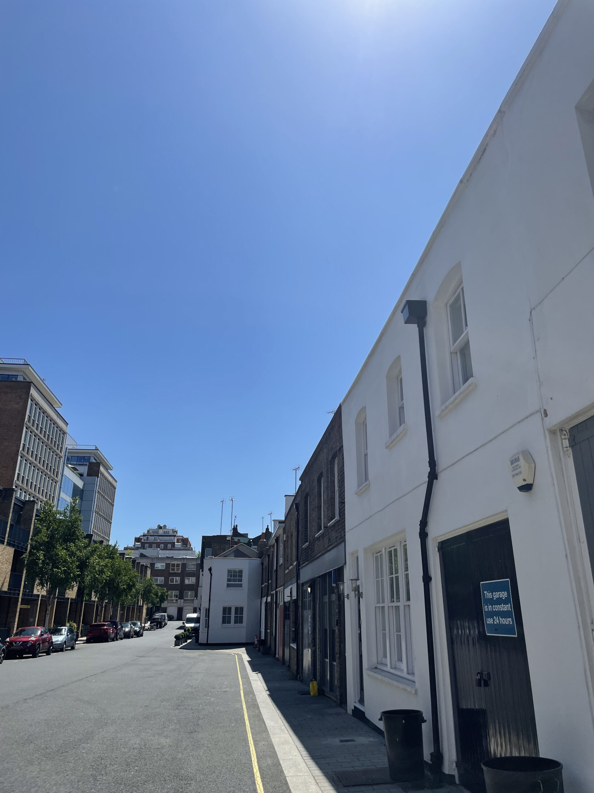
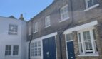
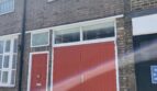
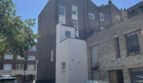
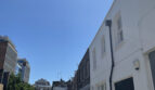
The two and three storey properties on Rodmarton Street are a mixture of painted and rendered brickwork, with roofs hidden behind parapet walls. The garages are intact and surrounded by a tarmacadam road surface.
Everchanging Nature
The original purpose of the properties in Rodmarton Street was to provide stable/ coach house accommodation to the main buildings in Gloucester Place. Before and since 2003 there have been a few planning applications made for development in the mews, mainly; the part or complete demolition of the existing properties. Conservation Area controls now apply to any new development in the Mews.
Similar Listings