Property Description
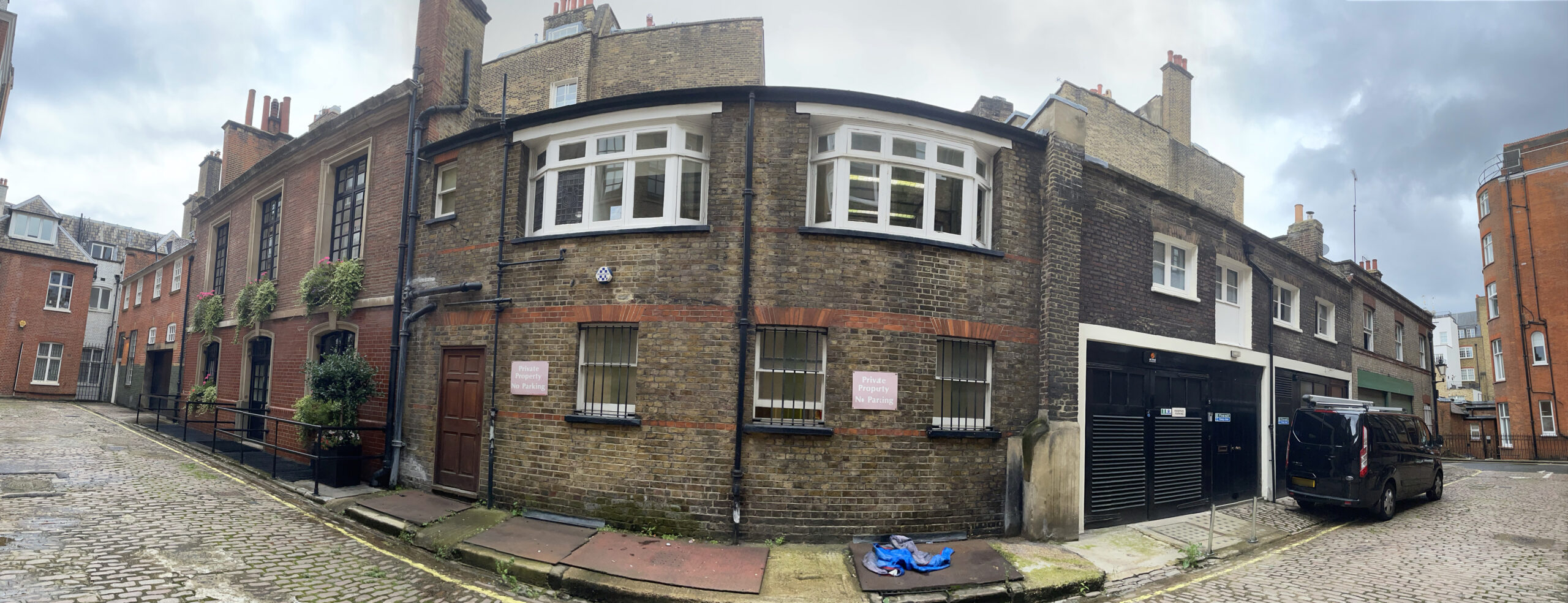
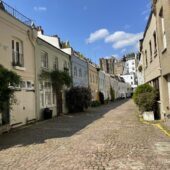
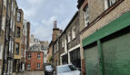
Mansfield Mews is a part-cobbled through road with a cul-de-sac section between Mansfield Street and Harley Street in Westminster, opposite Harley Place, another original/ surviving Mews. There are 10 properties in the Mews, used for residential and commercial purposes.

Between October 1940 and June 1941, a high explosive bomb is recorded falling onto Queen Anne Street, just below Harley Place. The area was noted as being fairly comfortable with good, ordinary household earnings when the London Poverty Maps were first published although some households were classed as being extremely wealthy in comparison.
Mansfield Mews is situated in the very centre of the Harley Street Conservation Area in Westminster. First designated in 1968, the area is now dominated by terraced houses of different periods and different levels of social status. It retains a substantial medical presence, whilst offices predominate to the eastern edges.
The Mews has a mixed character with late Victorian and Edwardian mews, the only early mews building being at Number 6. The west side of the street is made up of the backs of the main properties on Harley Street. The two storey, plain brickwork buildings have roofs hidden behind parapet walls. The buildings are surrounded by a cobbled and tarmacadam road surface and raised pavements. Numbers 5-6 and 7-9 Mansfield Mews are Listed Buildings.
Everchanging Nature
The original purpose of the Mews was to provide stable/ coach house accommodation to the main houses on Mansfield Street. Nowadays, the function of the properties is mainly residential although some commercial activity still remains.
A few planning applications have been made before and since 2003 for alterations to properties; notably external alterations, roof extensions and the change of use of the properties to residential. Conservation Area controls now apply to new development in the Mews.
Similar Listings