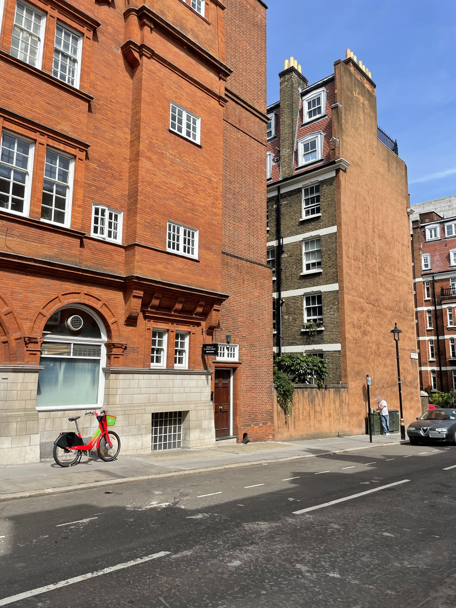
Property Description
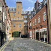
Duke’s Yard is a through road between Duke Street and Binney Street. The Mews contains 3 properties used for a mixture of residential and commercial purposes. The Mews is oriented in a west-east direction, roughly in line with the nearby St Anselm’s Place, another original/ surviving Mews street.

In 1940, a high explosive bomb is recorded falling just outside the Mews on Duke Street, probably resulting in the properties having to be rebuilt. When the London Poverty Maps were published, the area was noted as having comfortable living conditions with average household salaries.
The Mews is part of Westminster City Council’s Mayfair Conservation Area. First designated in 1969, it derives its name from a fair held in the month of May in fields around the site of today’s Shepherd Market. The area is dominated by fashionable town-houses (and their Mews) reflecting the history of English domestic architecture from the early 18th to the early 20th century.
The Mews contains three storey, plain brickwork properties with pitched roofs. The road surface is tarmacadam and there is a raised pavement on one side of the street, which is not original. There is restricted parking and intact garages present.
Everchanging Nature
Before and since 2003 there have been very few planning applications made for alterations to the properties, and no details available on the outcome of said applications. Conservation Area controls apply to any new development in the Mews.
Similar Listings