
Property Description
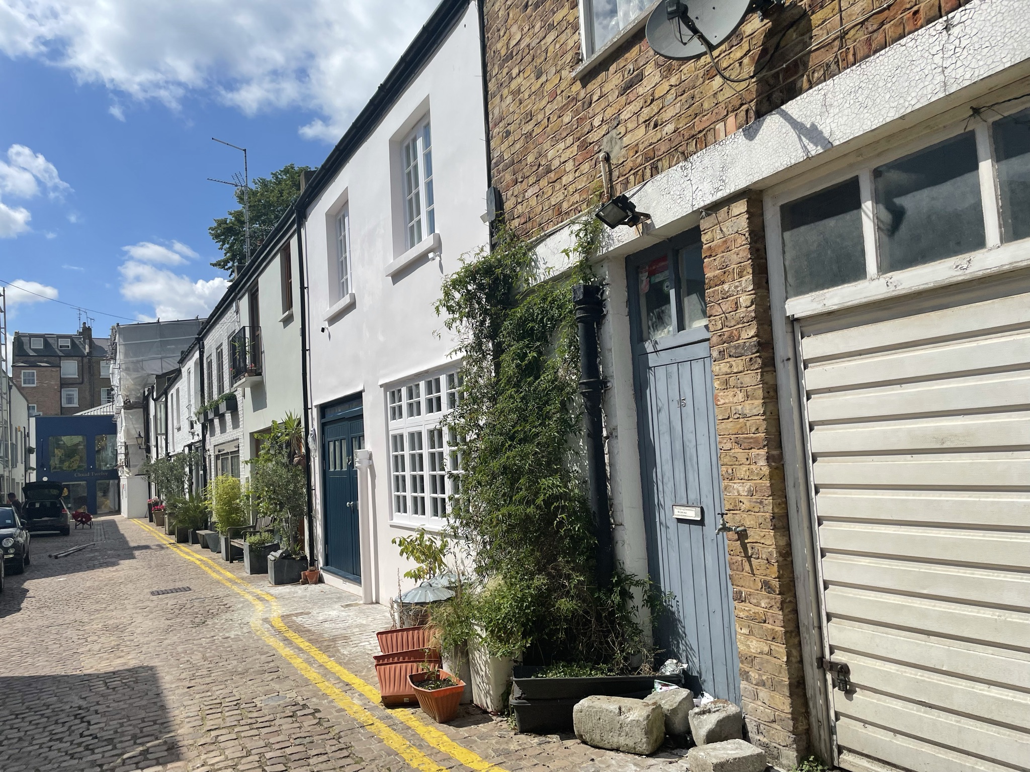
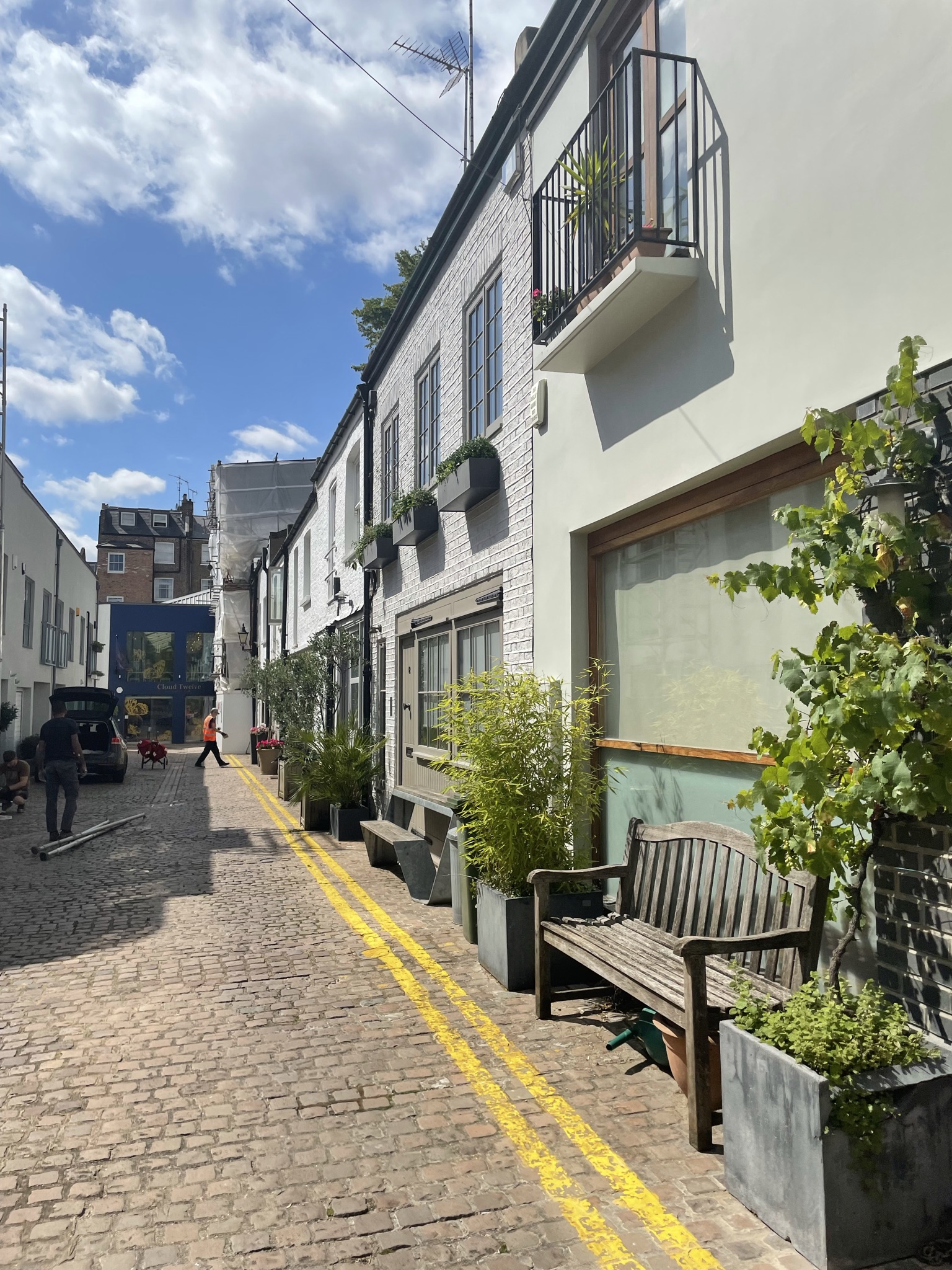
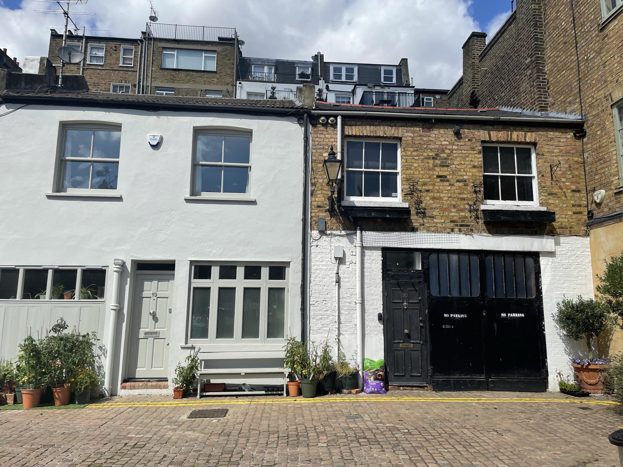
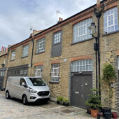
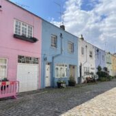
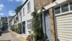
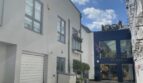
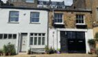
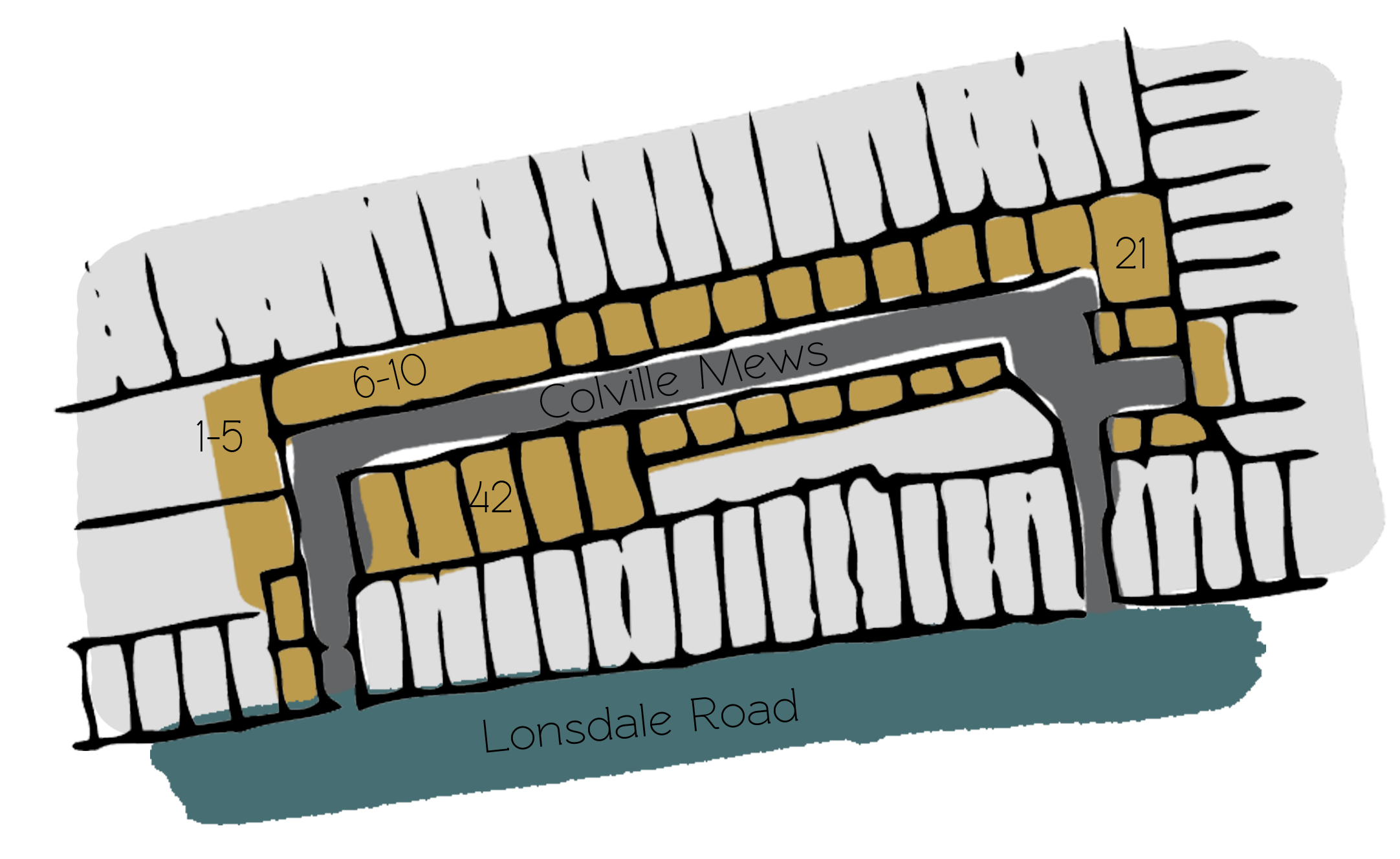
Colville Mews is a cobbled through road approached through its own arch on Lonsdale Road in the Royal Borough of Kensington and Chelsea. Colville Mews contains 19 properties, used for commercial purposes.
During World War II, the Aggregate Night Time Bomb Census recorded a high explosive bomb falling onto Colville Terrace, just above the Mews. In the past, the area was noted as having comfortable living conditions and normal household earnings for the time when the London Poverty Maps were first published.
The Mews is part of the ‘Colville’ Conservation Area; a Victorian development of the 1860’s and 70’s in part, bounded by Tavistock Road to the north, Westminster to the east and the rear of Portobello Road in the West.
The two storey properties have rendered or painted brickwork facades with gable, pitched and parapet roof styles, surrounded by a cobbled road surface. There are lots of trees and plants present in the Mews.
Everchanging Nature
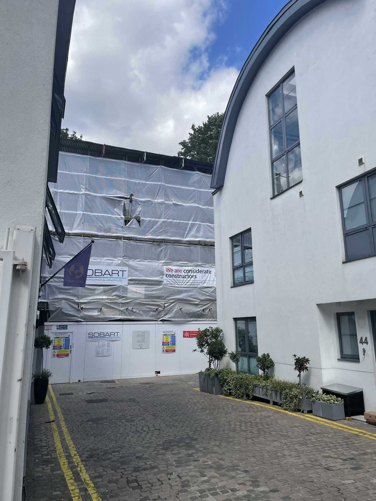
Originally used as the coach house/ stable accommodation for the main houses on Colville Terrace, the primary purpose of the Mews properties is still commercial, in the form of Shops, Businesses and a Museum.
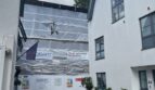
Before and since 2003 there have been many planning applications made for alterations to the properties in the Mews; mainly regarding basement excavations and roof level alterations. Conservation Area controls apply to any new development in the Mews.
Similar Listings