
Property Description
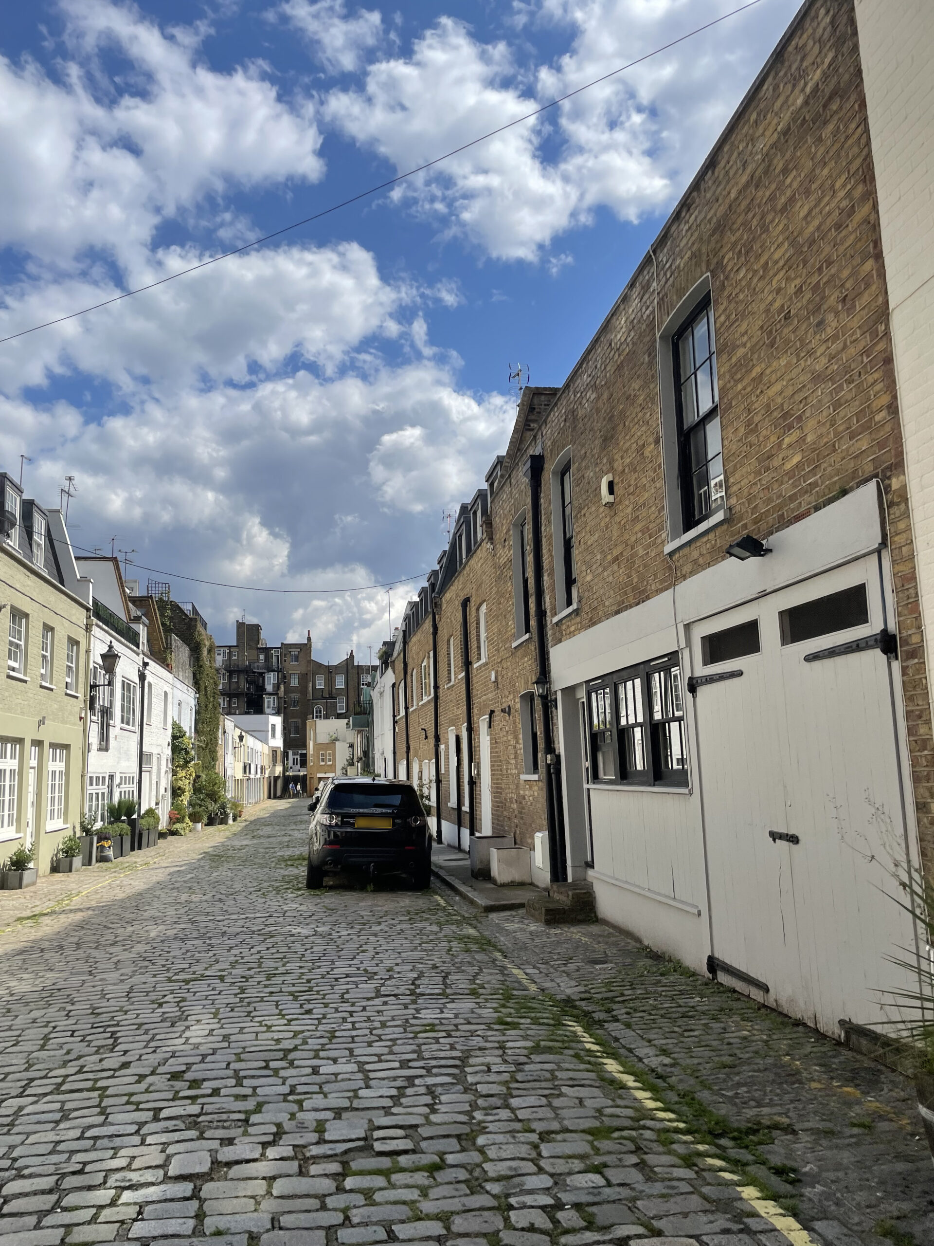
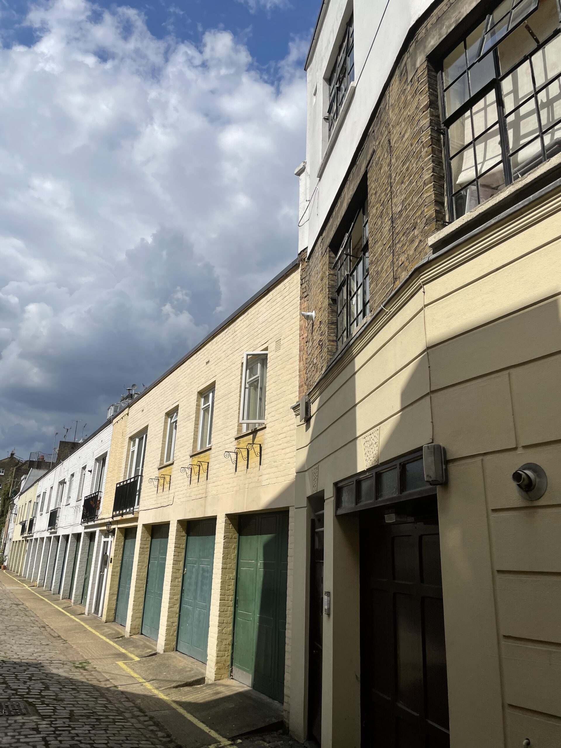
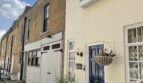
Upbrook Mews is a cobbled through road, approached through an entrance under a building on Chilworth Street in Westminster. There are 34 properties in the Mews, used for residential purposes. The Mews runs directly in line with Gloucester Mews West, a redeveloped Mews street.
A high explosive bomb fell onto Cleveland Square, very close to the Mews in World War II. When the London Poverty Maps were published, the area was determined to have a mixed standard of living conditions, some comfortable whilst others were poorer.
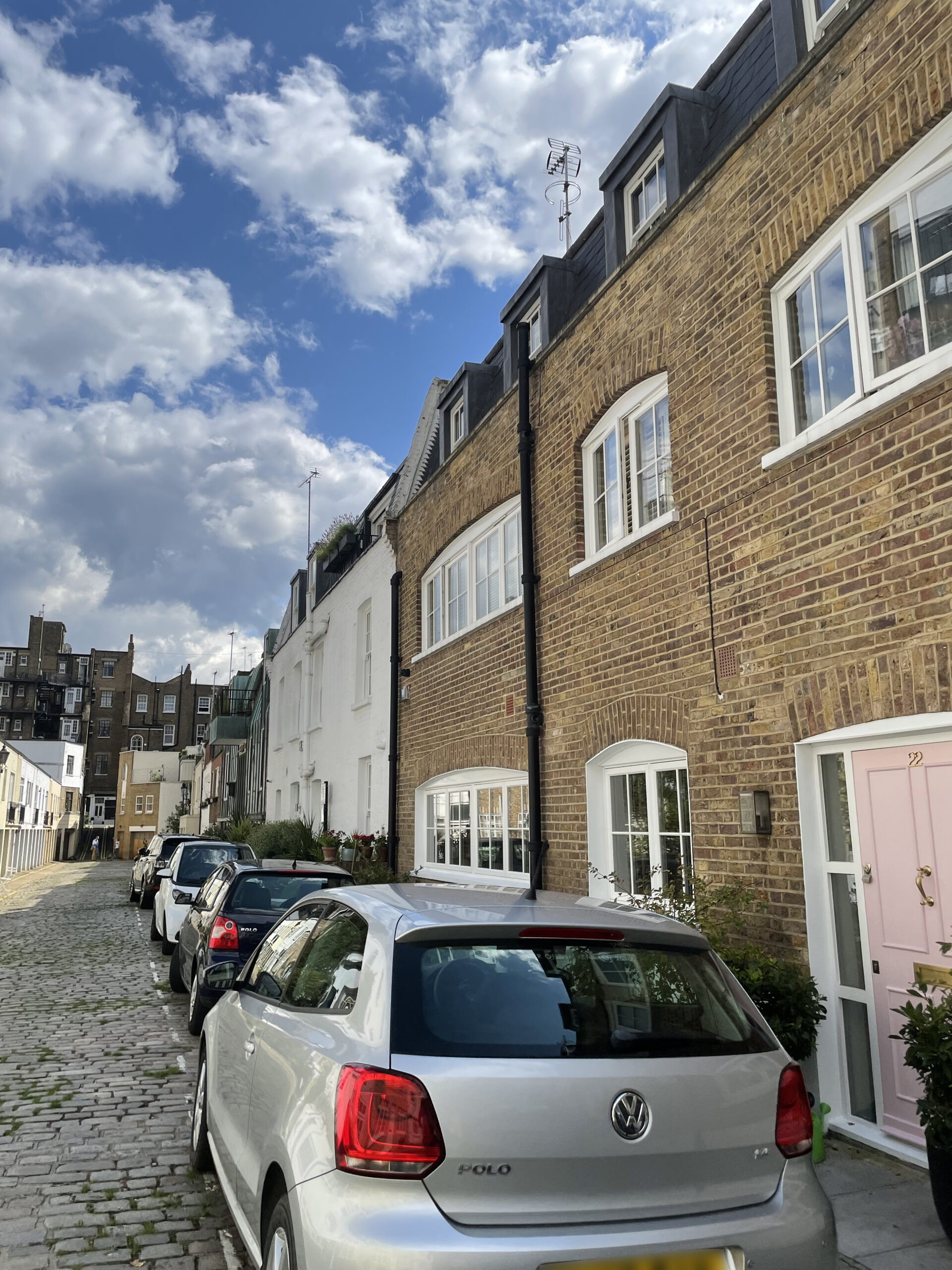
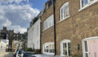
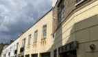
Upbrook Mews is part of Westminster City Council’s Bayswater Conservation Area; developed over the space of about 70 years, the townscape is uniform despite being composed of several distinct areas and is made up of a regular composition of streets and squares in an Italianate style. An important aspect of the street pattern are the several mews, some quite intimate and others so large that they appear to be a development of their own. The contrast of scale provided by these mews is a crucial aspect of the overall area’s character.
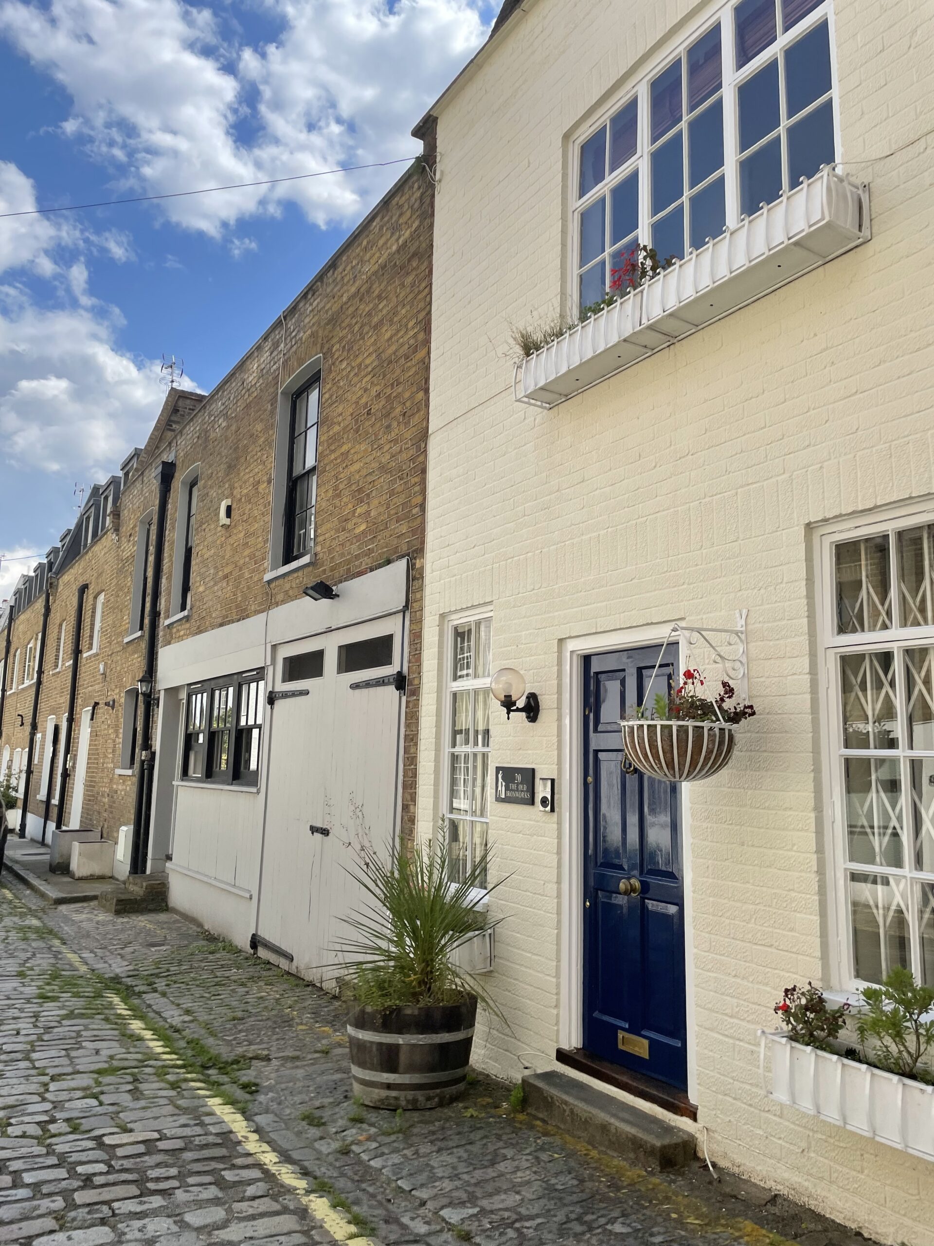
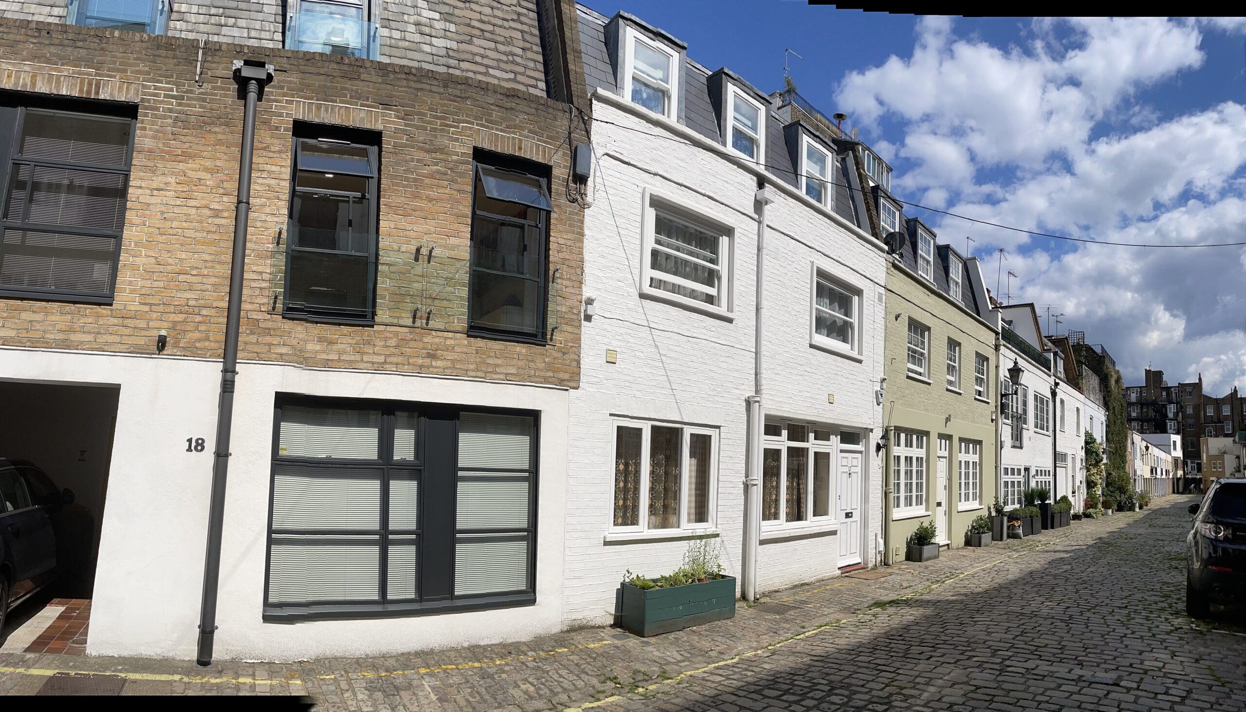
The two and three storey properties are a mixture of different materials and styles and have a variety of mansard and parapet roof styles. Some of the garages remain intact and are surrounded by a cobbled road surface, with partial raised pavements.
Everchanging Nature
The original purpose of Upbrook Mews was to provide stable/ coach house accommodation to the main houses on Gloucester Terrace and Devonshire Terrace. Now, it is predominantly used for residential purposes.
A few planning applications have been made prior to, and since 2003 including roof extensions and changes to the fenestration. Conservation Area controls now apply to new development in the Mews.
Similar Listings