Property Description
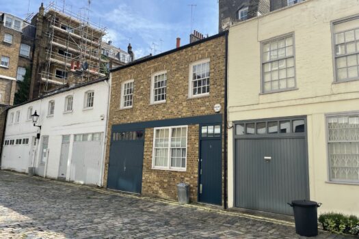
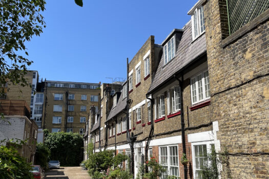
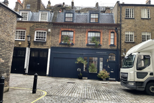
Rutland Street is a one-way through road off Cheval Place in Westminster/ Kensington leading to Montpelier Walk, both of which are original/ surviving Mews streets. The Mews contains 31 properties.

Between October 1940 and June 1941, a high explosive bomb is recorded falling directly onto Cheval Place, meaning many of the properties had to be rebuilt so any evidence of previous equestrian usage is not present. The area was noted as being a mixture of comfortable with good, ordinary household earnings, and poorer residences when the London Poverty Maps were first published.
Rutland Street is part of Kensington and Chelsea’s Brompton Conservation Area; bounded by the Brompton Road to the south, the Victoria and Albert Museum to the West and Ennismore Mews to the North, the area was designated after 1987 and contains Holy Trinity, Brompton Square, Rutland and Montpelier sub-areas.
The section west of Rutland Street on Cheval Place was developed after 1830; Rutland Street itself being laid out in the 1820’s. No further details are recorded about the road.
Everchanging Nature
There have been a few planning applications made prior to and since 2003, the most notable being a first floor extension. Conservation Area controls now apply to any new development in the Mews.


