Property Description
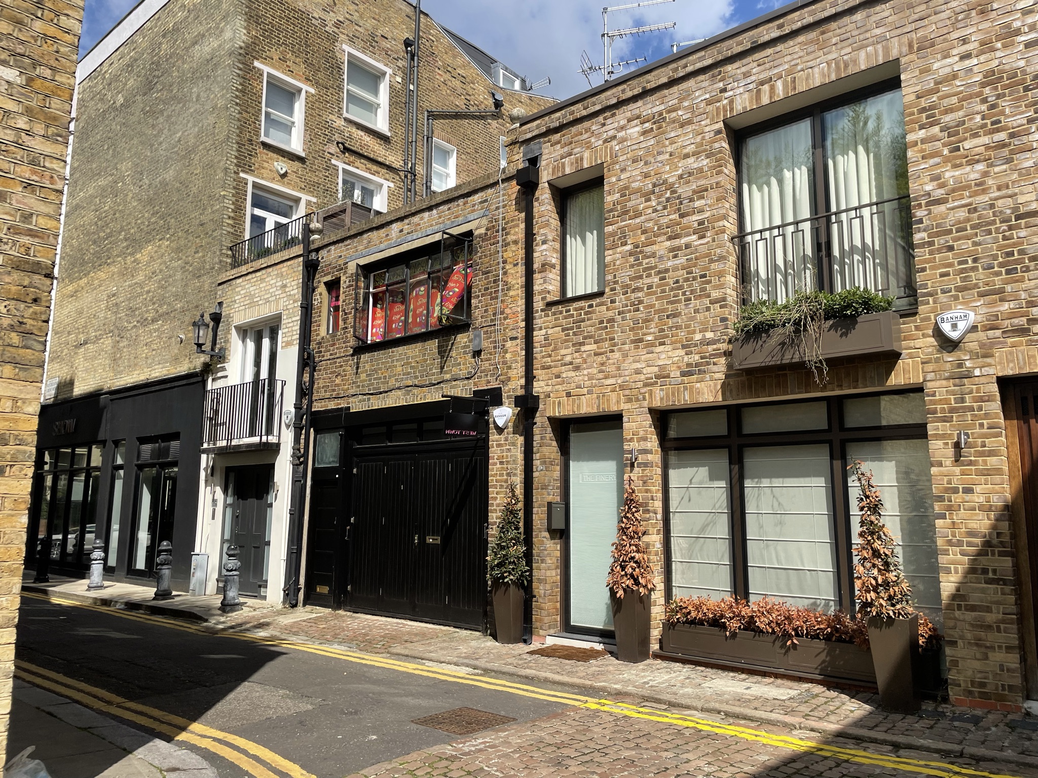
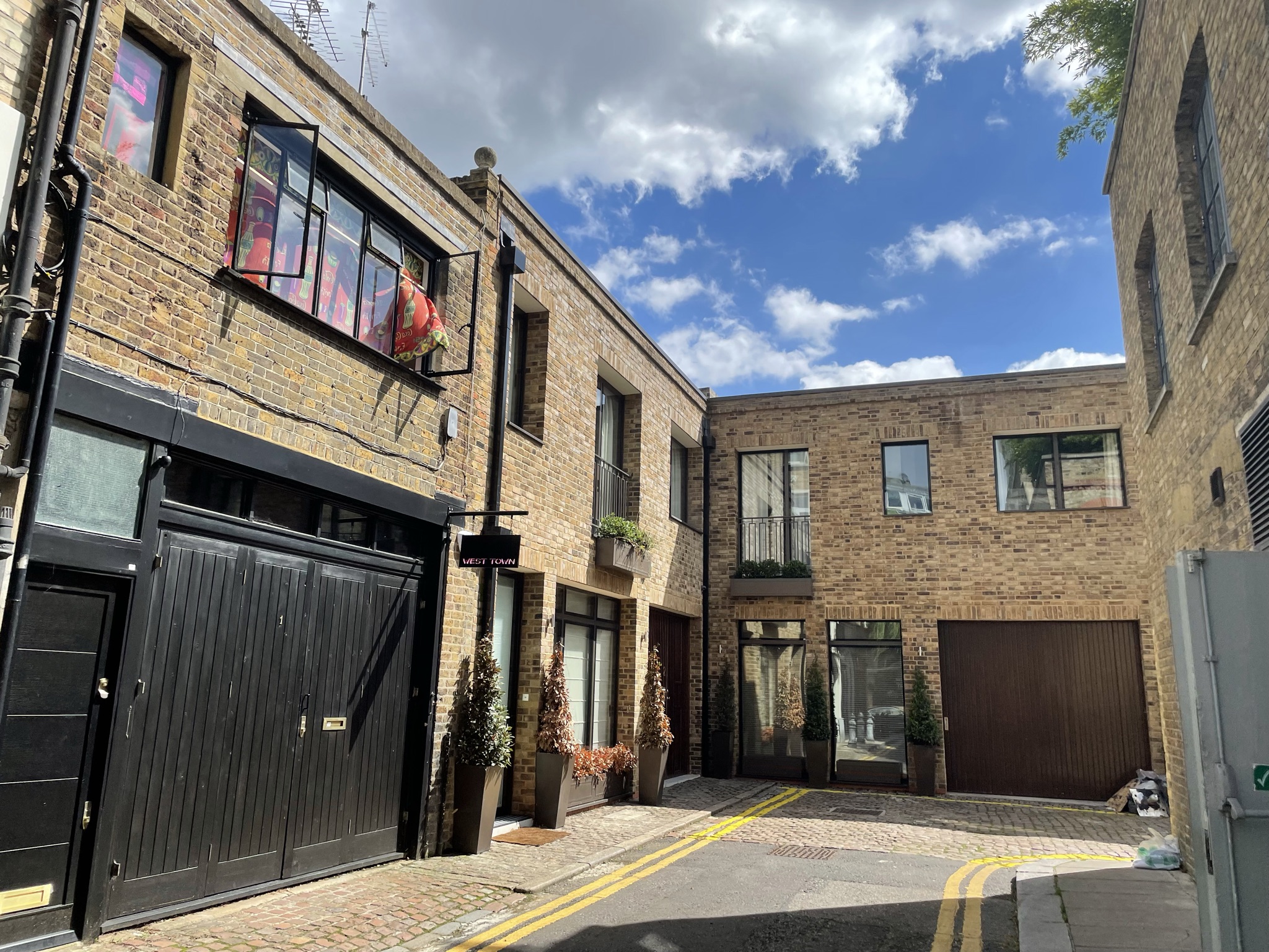
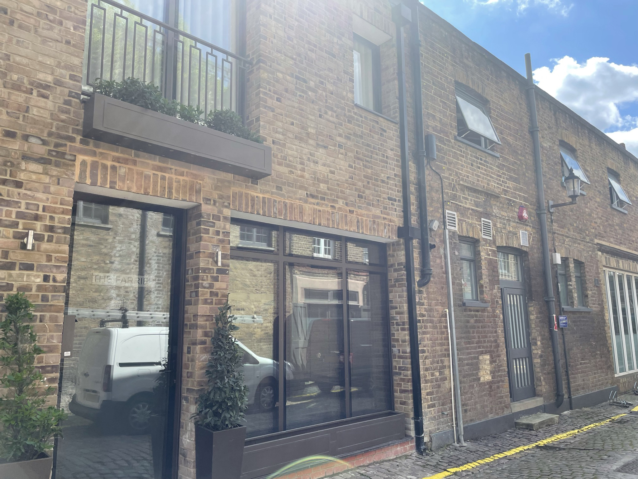
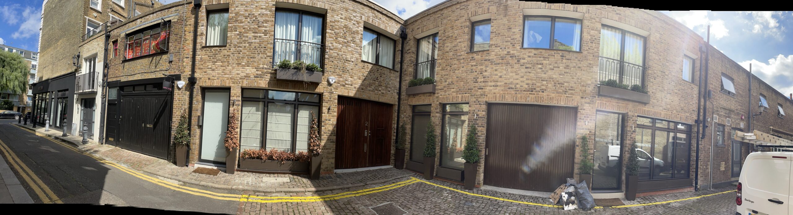
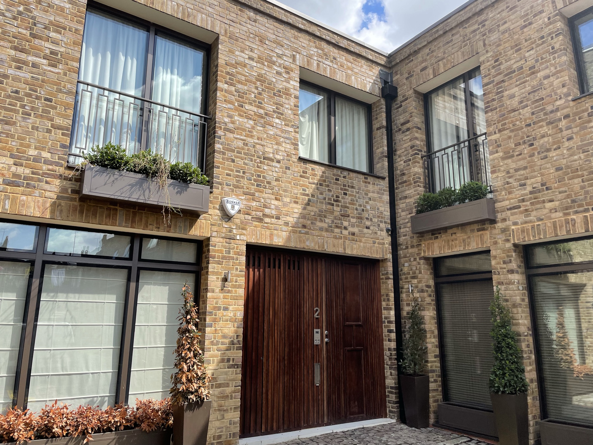
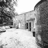
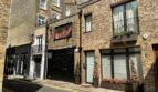
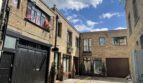
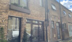
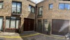
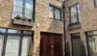
Westbourne Grove Mews is a part-cobbled cul-de-sac off Westbourne Grove in the Royal Borough of Kensington and Chelsea. It contains 13 properties used for residential and commercial purposes.
When the London Poverty Maps were published, the area was noted as having a mixture of poorer and ordinary living conditions, with lower than average household salaries for the time. A high explosive bomb fell north of the Mews onto Artesian Road in World War II.
The Mews is part of Kensington’s ‘Pembridge’ Conservation Area; one of the earliest designations in 1969, the area has since been developed in the 19th Century and contains a wide variety of different building types; from Mews to terraces and semi-detached/ detached villas.
The one and two storey properties have pitched roof styles and rendered or brickwork facades. Parking is restricted along the cobbled and tarmacadam road, with bollards present.
Everchanging Nature
Originally the stable house accommodation for the main houses on the surrounding streets, the primary purpose of the Mews properties is now a mixture of both commercial and residential.
Similar Listings