
Property Description
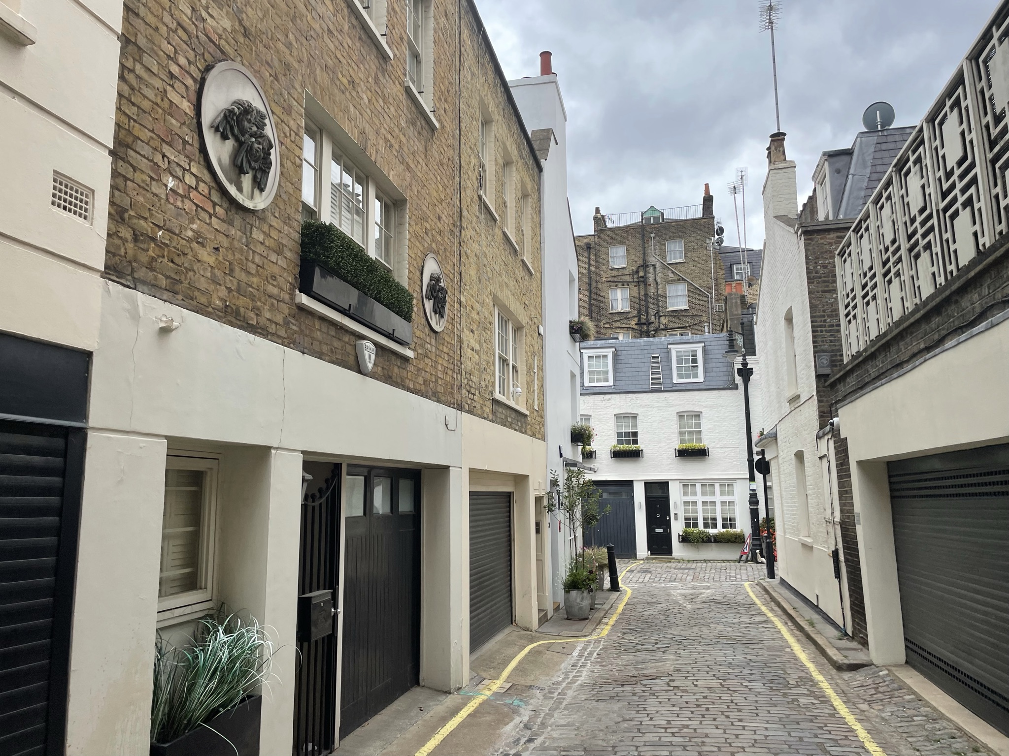
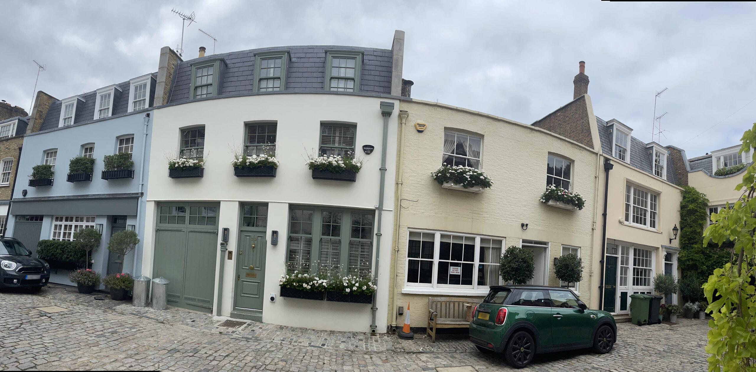
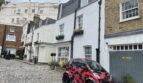
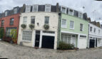
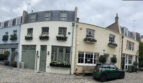
Groom Place is a cobbled through road between Chester Street and Chapel Street in Westminster, opposite Wilton Mews, another original/ surviving Mews street. There are 26 properties in the Mews, used for residential purposes.
A high explosive bomb fell onto Chester Street and Wilton Mews in World War II (an original/ surviving Mews street). When the London Poverty Maps were published, the area was determined as having fairly comfortable living conditions and households with good ordinary earnings.
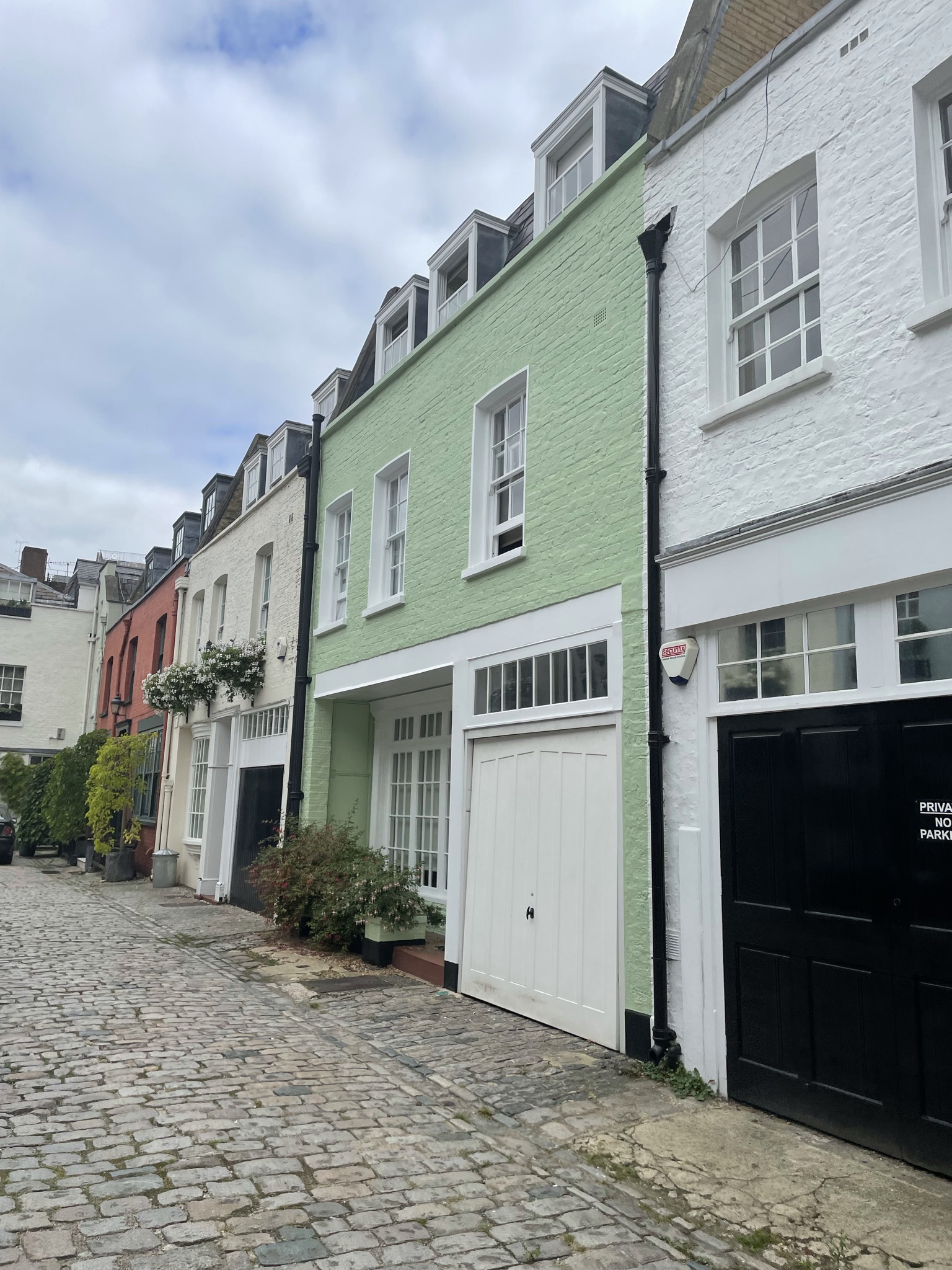
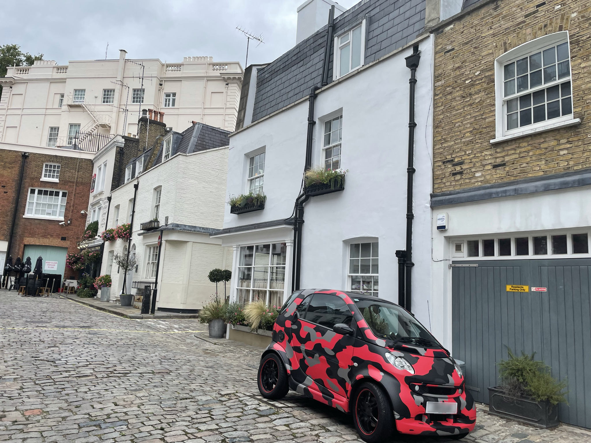
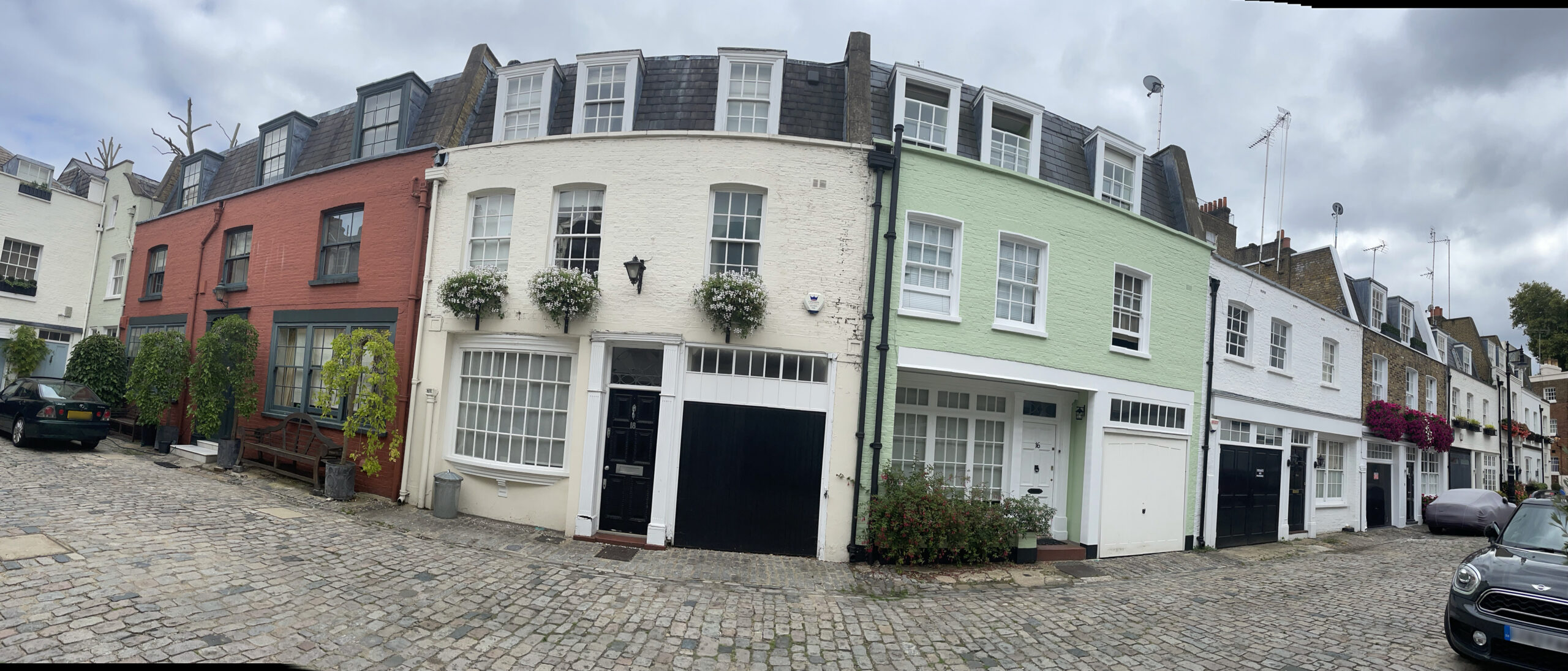
Groom Place is part of Westminster City Council’s Belgravia Conservation Area. First designated in 1968, it was laid out as a fashionable residential area to the west of Buckingham Palace. There is a high degree of townscape uniformity and a formal layout based on a grid pattern. The area is predominantly residential with some shops on the edges. There are also a significant number of embassies, diplomatic buildings and institutional headquarters.
The two and three storey properties are a mixture of rendered and painted brickwork and have both mansard and parapet roof styles. Most of the garages remain intact though some have been converted and are surrounded by a cobbled road surface.
Everchanging Nature
The original purpose of Groom Place was to provide stable/ coach house accommodation to the main houses on Chester Street and Chapel Street. Now, it is predominantly used for residential purposes.
Many planning applications have been made since 2003 including internal alterations and basement excavations. Conservation Area controls now apply to new development in the Mews.
Similar Listings