


Property Description
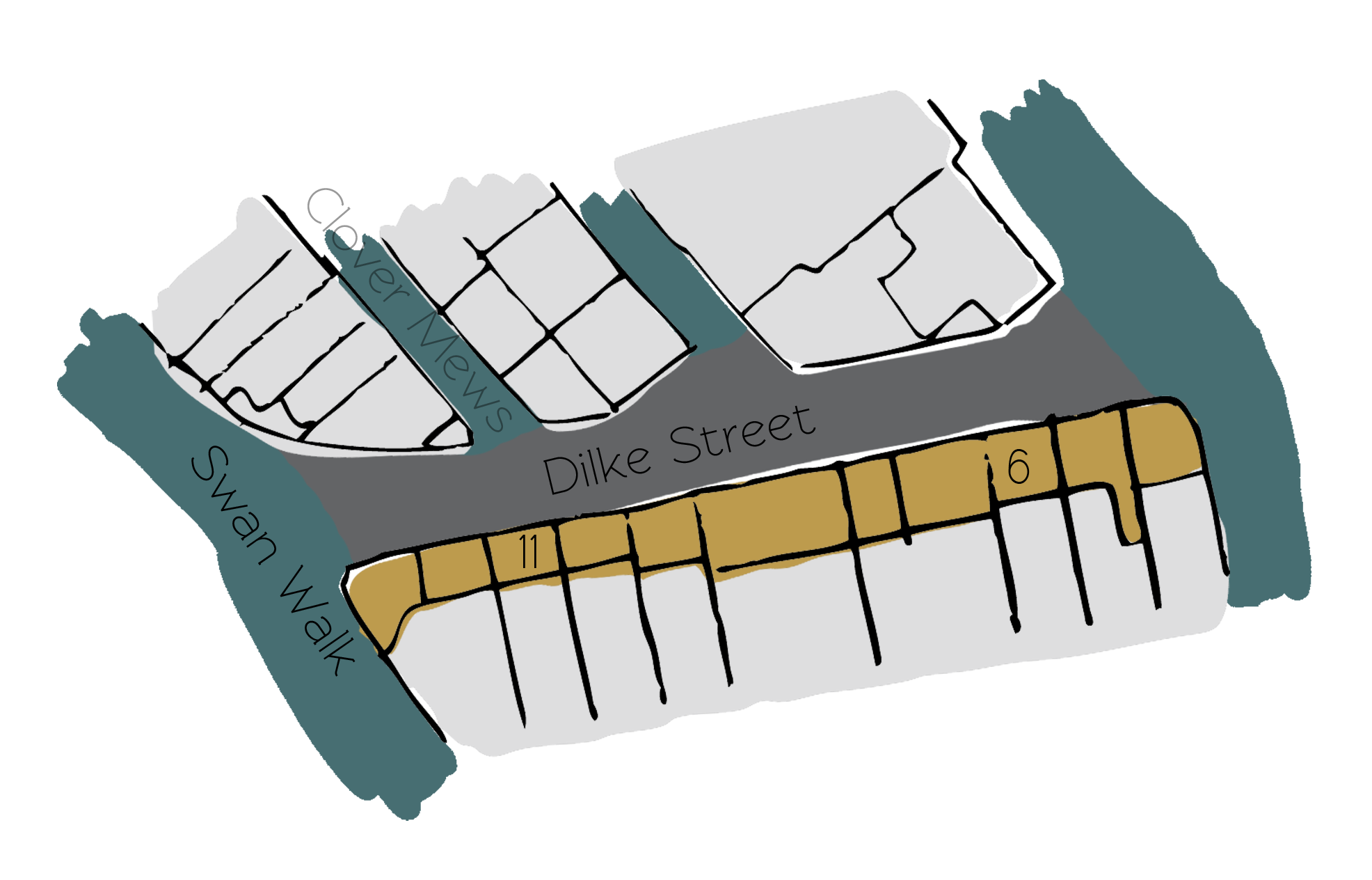
Dilke Street is a through road off Swan Walk, with access to Clover Mews (also containing original/ surviving Mews properties) in the Royal Borough of Kensington and Chelsea, just above the River Thames. Dilke Street contains 15 properties down one side, used for residential and commercial purposes.
At some point between October 1940 and June 1941, a high explosive bomb fell onto Chelsea Embankment, south-east of Dilke Street and in the past it was noted as having comfortable living conditions and normal household earnings for the time when the London Poverty Maps were first published.
The Mews is part of the ‘Royal Hospital’ Conservation Area. Containing the Royal Hospital from which the area derives its name, the Conservation Area was designated in 1969. Apart from the Hospital, the area contains few significant buildings, mainly mixed terraces and more modern buildings.
The two and three storey properties have rendered or painted brickwork facades with mansard roof styles, surrounded by a tarmacadam road surface.
Everchanging Nature
Originally the stable/ coach house accommodation for the main houses on the surrounding streets, the primary purpose of the Mews properties is now residential though some commercial activity prevails.
Before and since 2003 there have been very few planning applications made for alterations to the properties in the Mews; most notably, a basement excavation. Conservation Area controls apply to any new development in the Mews.
Similar Listings


