Property Description
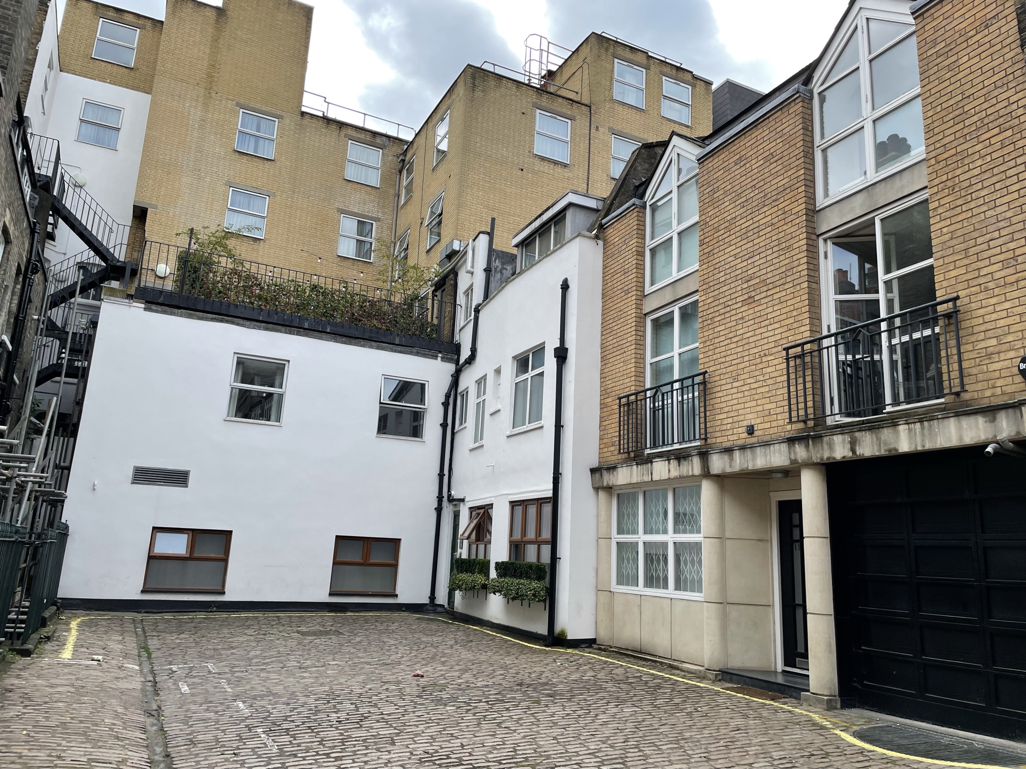
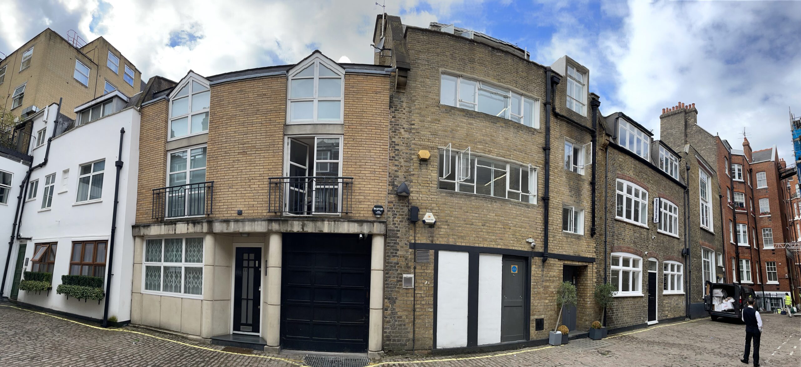
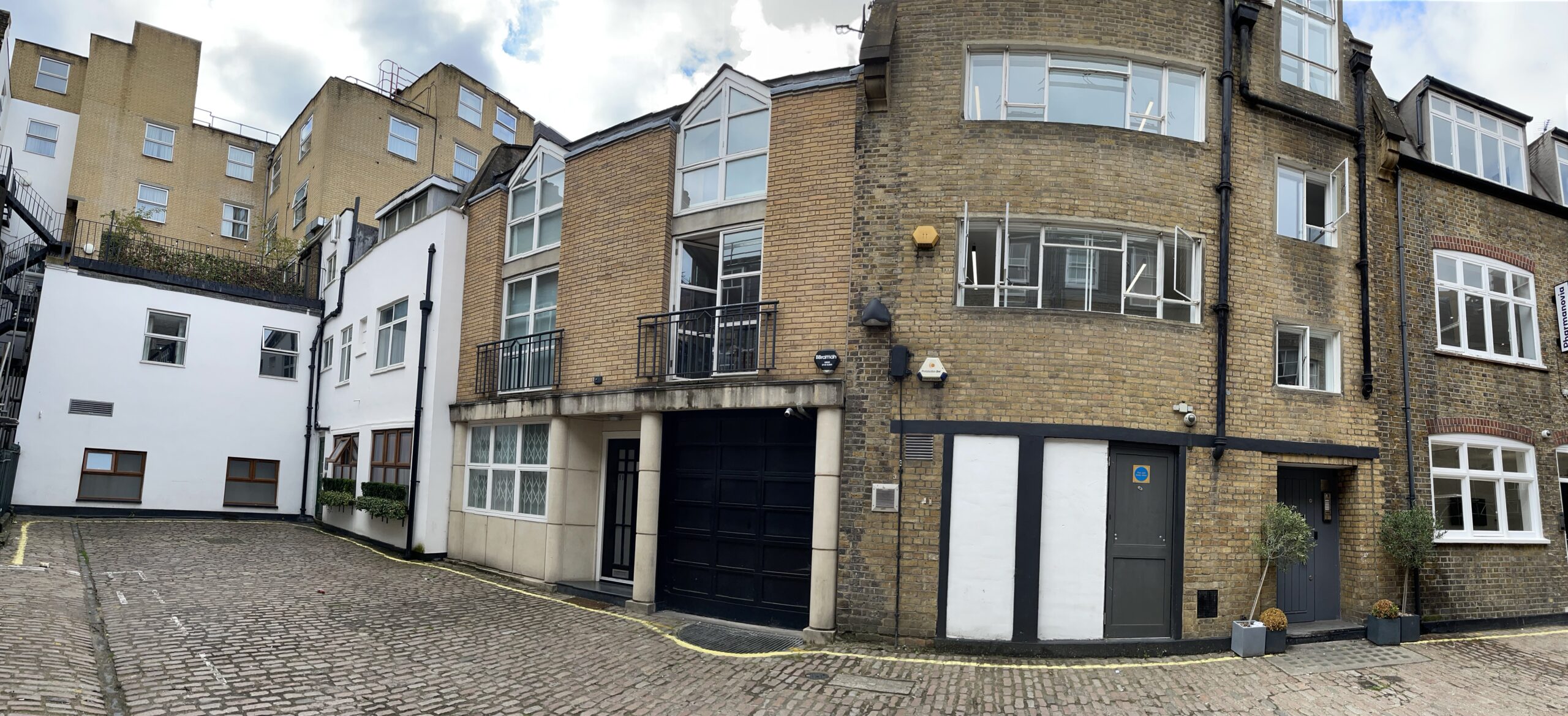
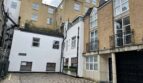
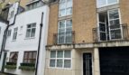
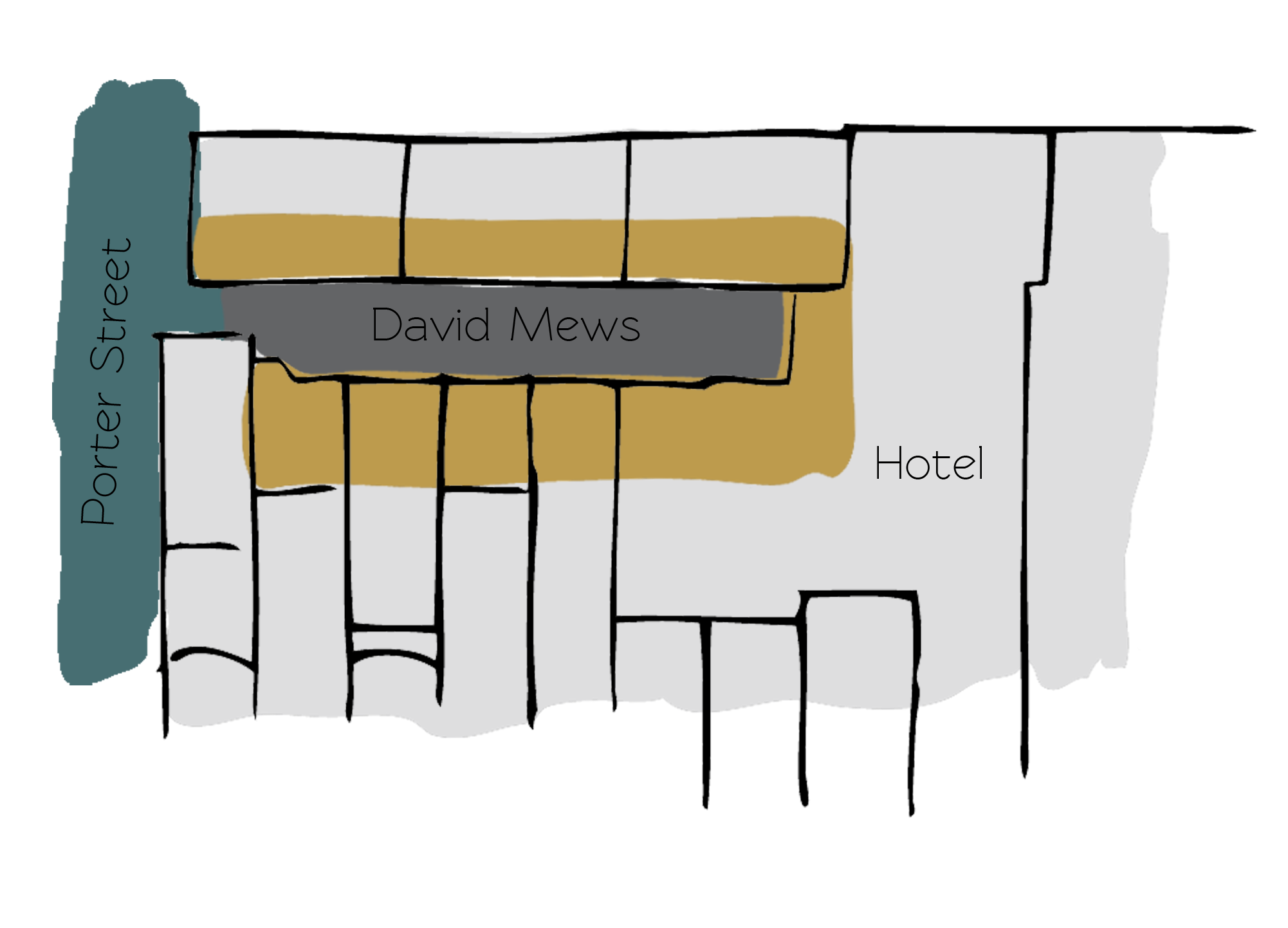
David Mews is a cobbled cul-de-sac containing 6 properties off Porter Street in Westminster. The Mews is roughly oriented in a north-south direction and the properties are used for commercial purposes.
Between October 1940 and June 1941, a high explosive bomb is recorded falling onto Baker Street, just to the north-west of the Mews. The area was noted as being middle class when the London Poverty Maps were first published.
David Mews is a part of Westminster City Council’s Portman Estate Conservation Area. Situated in the boundaries of Marylebone, which was once covered with forest and marshland, the estate originally comprised about 270 acres and now contains a variety of buildings from different centuries, from many examples of Mews to the grand terraces of Bryanston Square and Montagu Square.
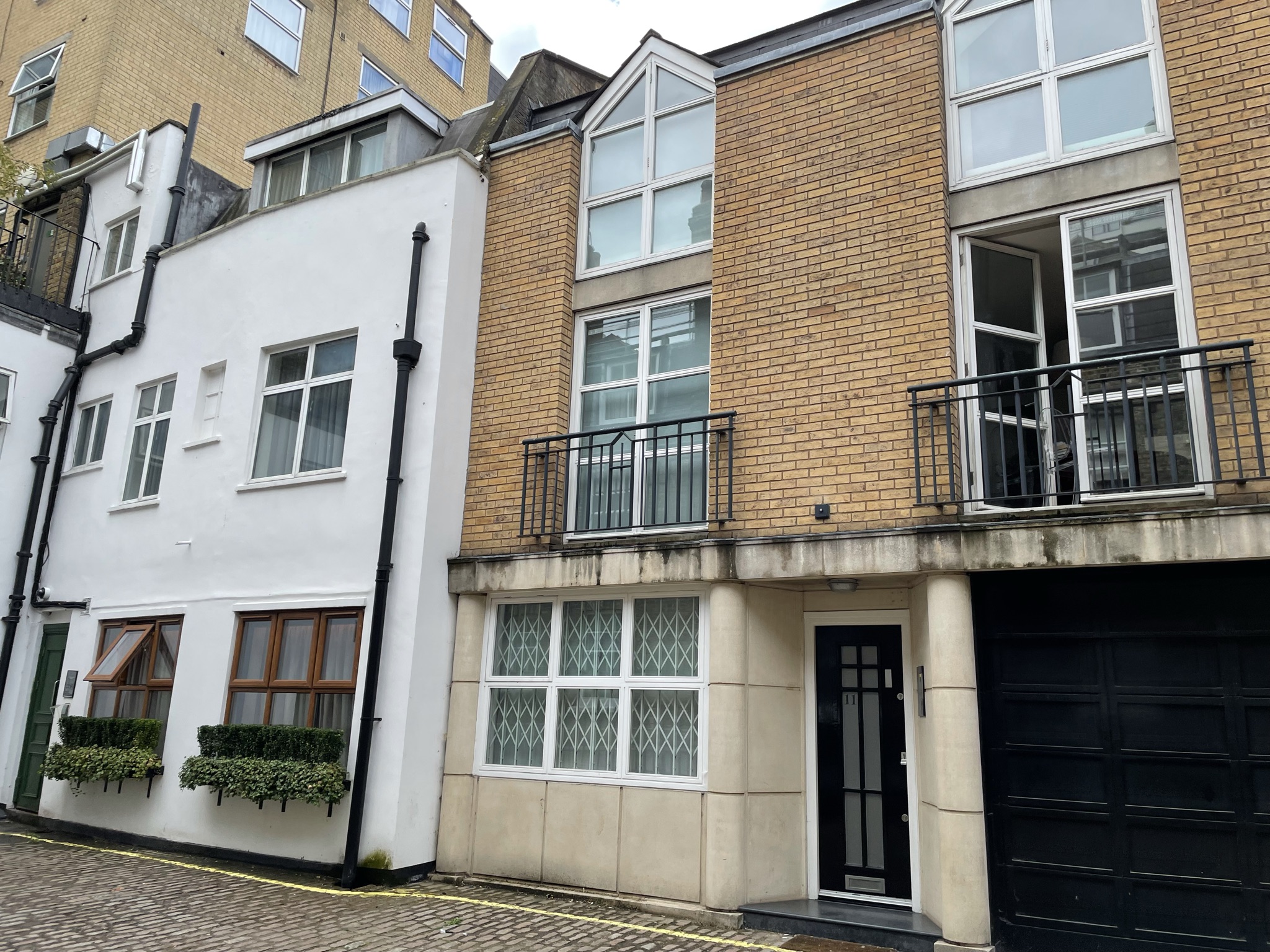
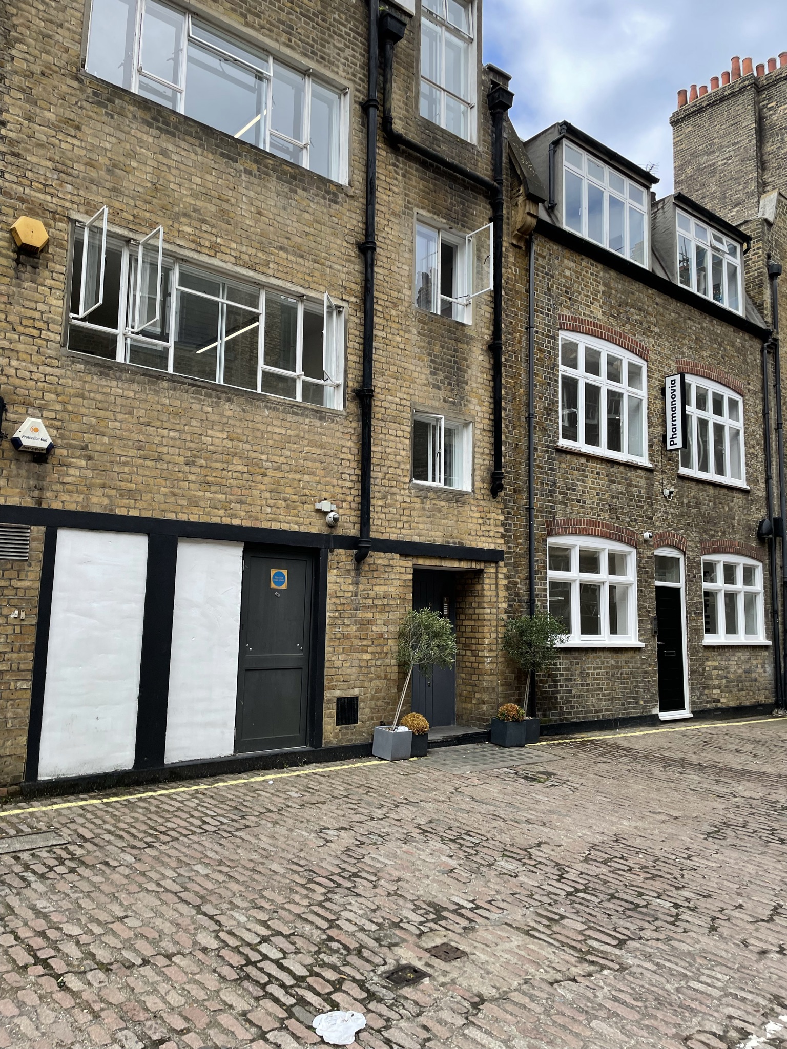
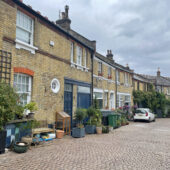
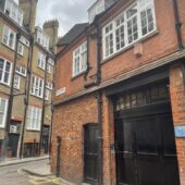
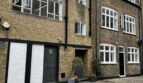
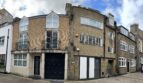
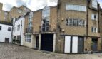
The Mews contains three storey, plain brickwork buildings with a mixture of mansard and gable roof styles. The road surface is cobbled and parking is restricted. The Mews retains its granite sets, contributing significantly to the character and appearance by adding colour and texture.
Everchanging Nature
Originally the stable/ coach house accommodation for the larger properties on Baker Street, the Mews is still used commercially in the form of offices. There have been very few planning applications made before and since 2003, mainly alterations to the fenestration. Conservation Area controls now apply to any new development in the Mews.
Similar Listings