Property Description
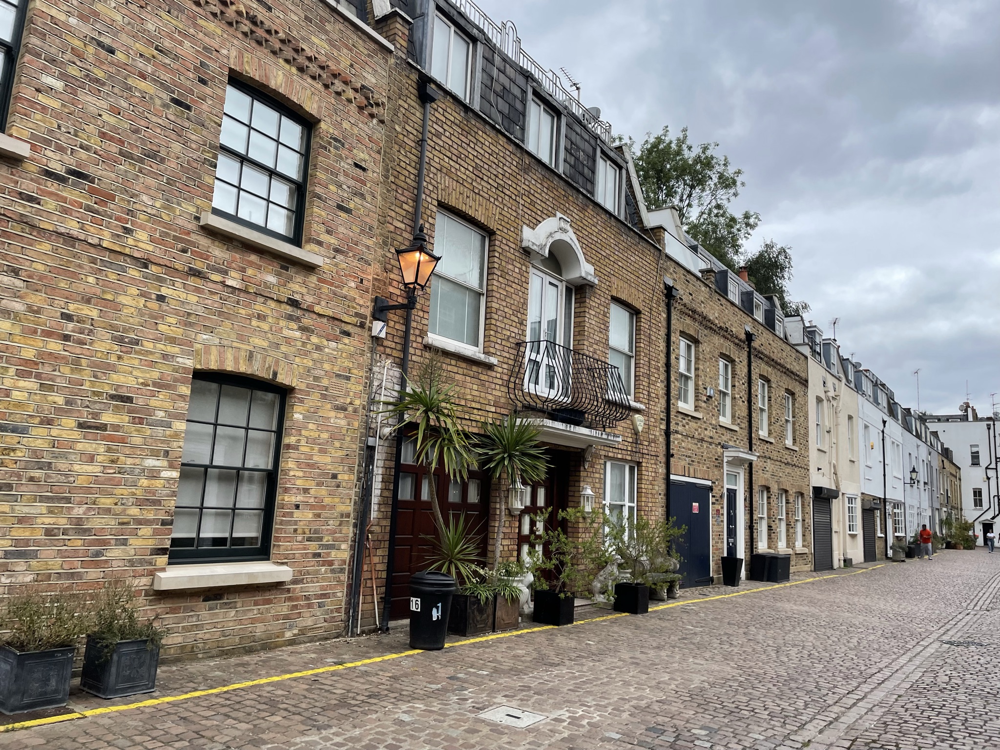
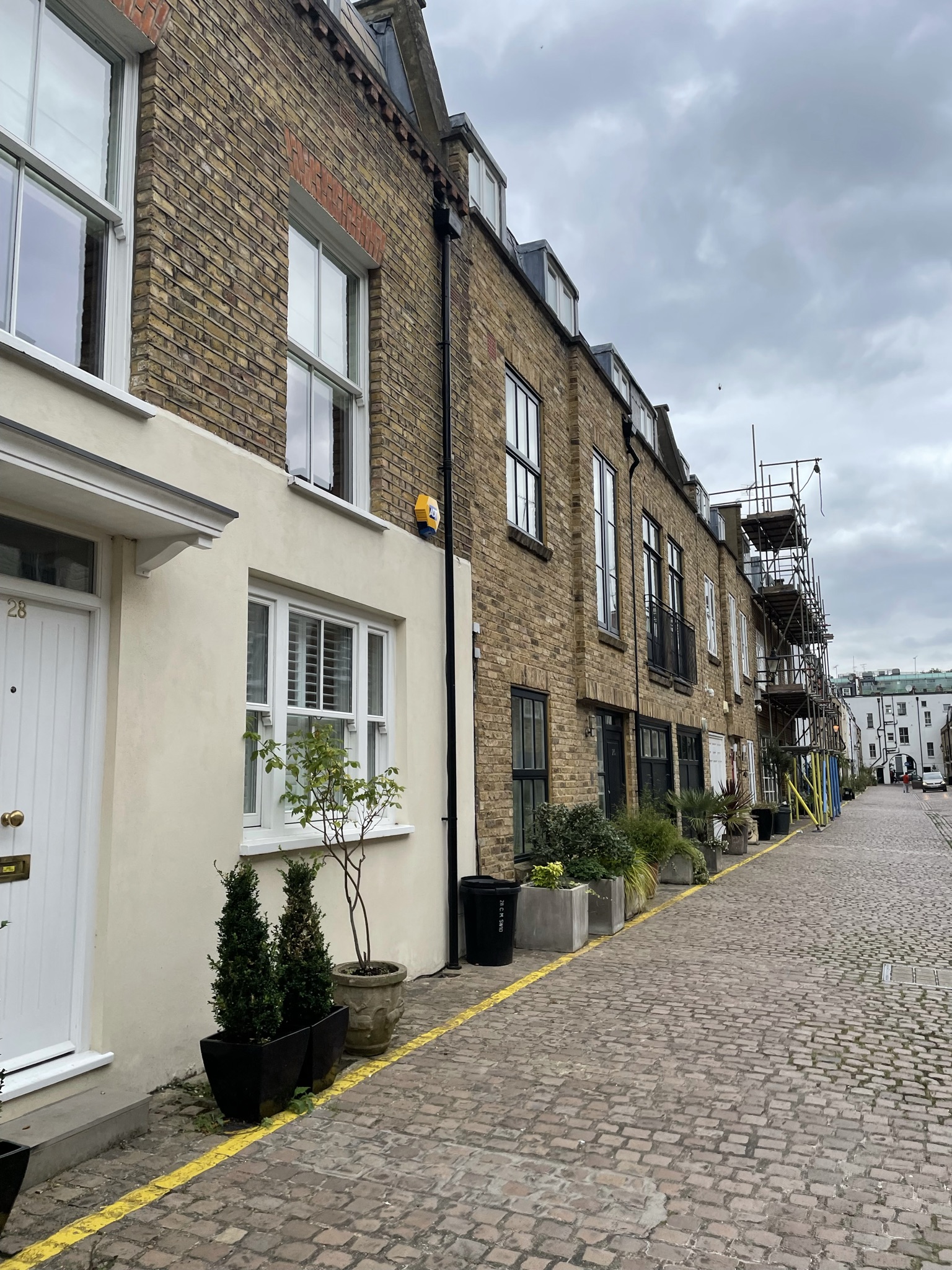
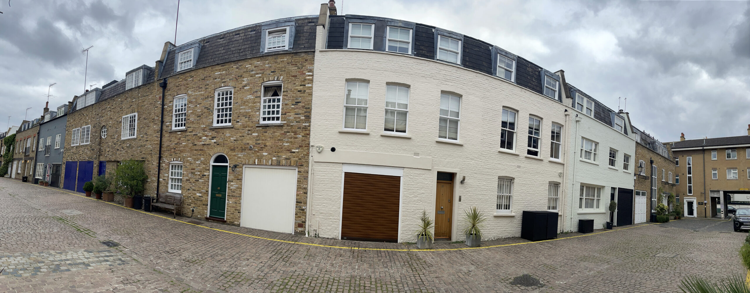
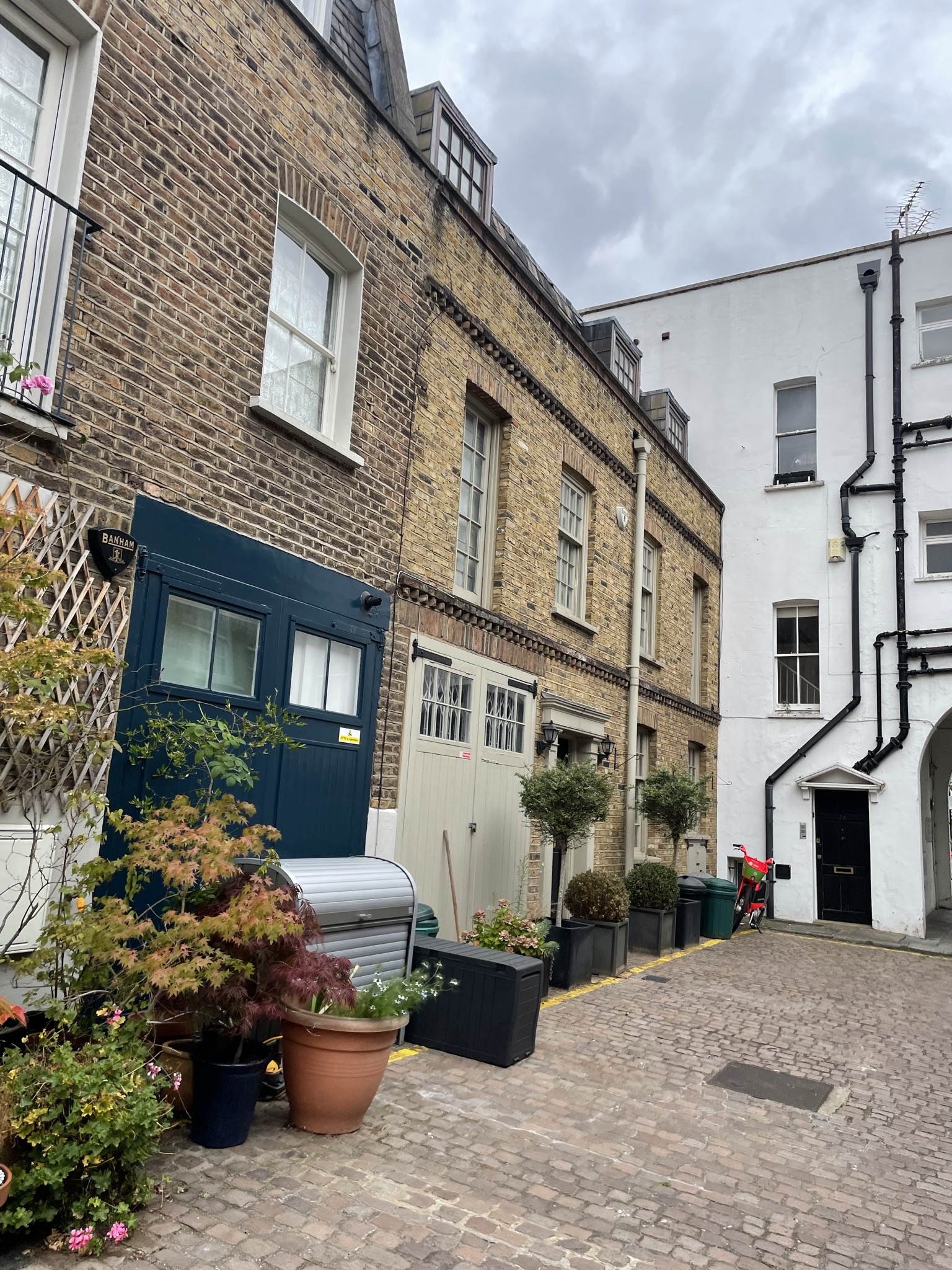
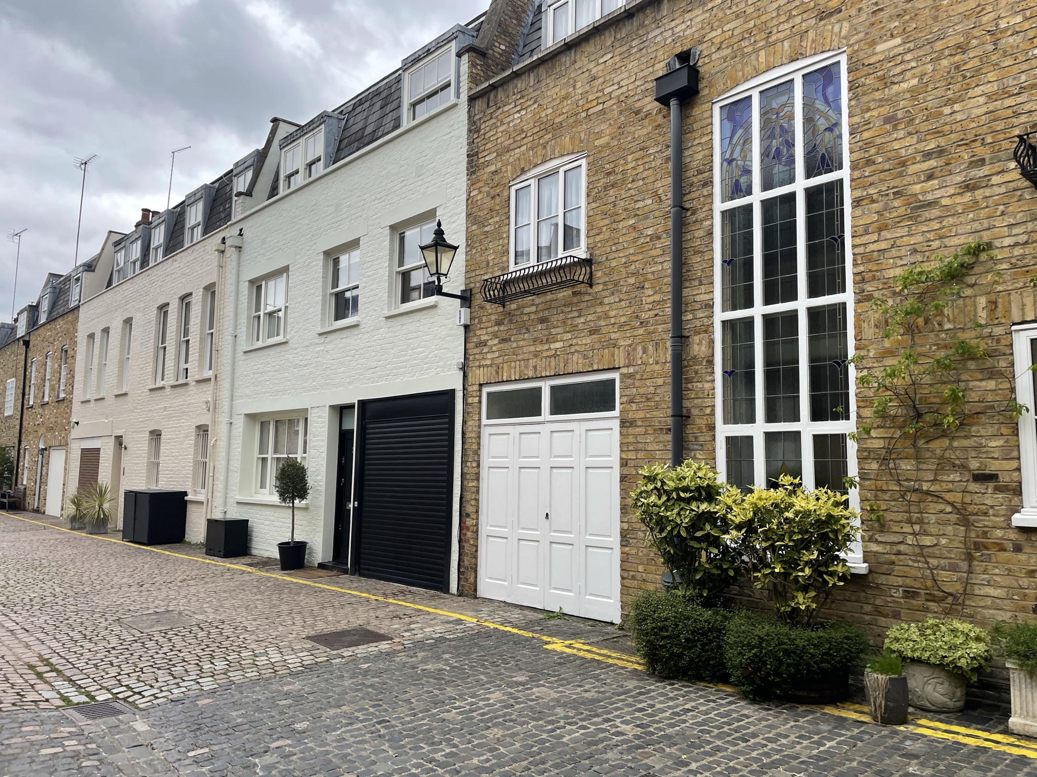
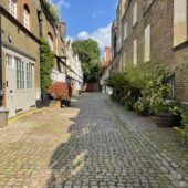
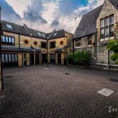
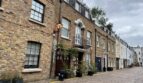
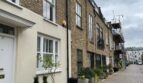
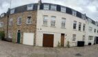
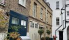
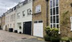
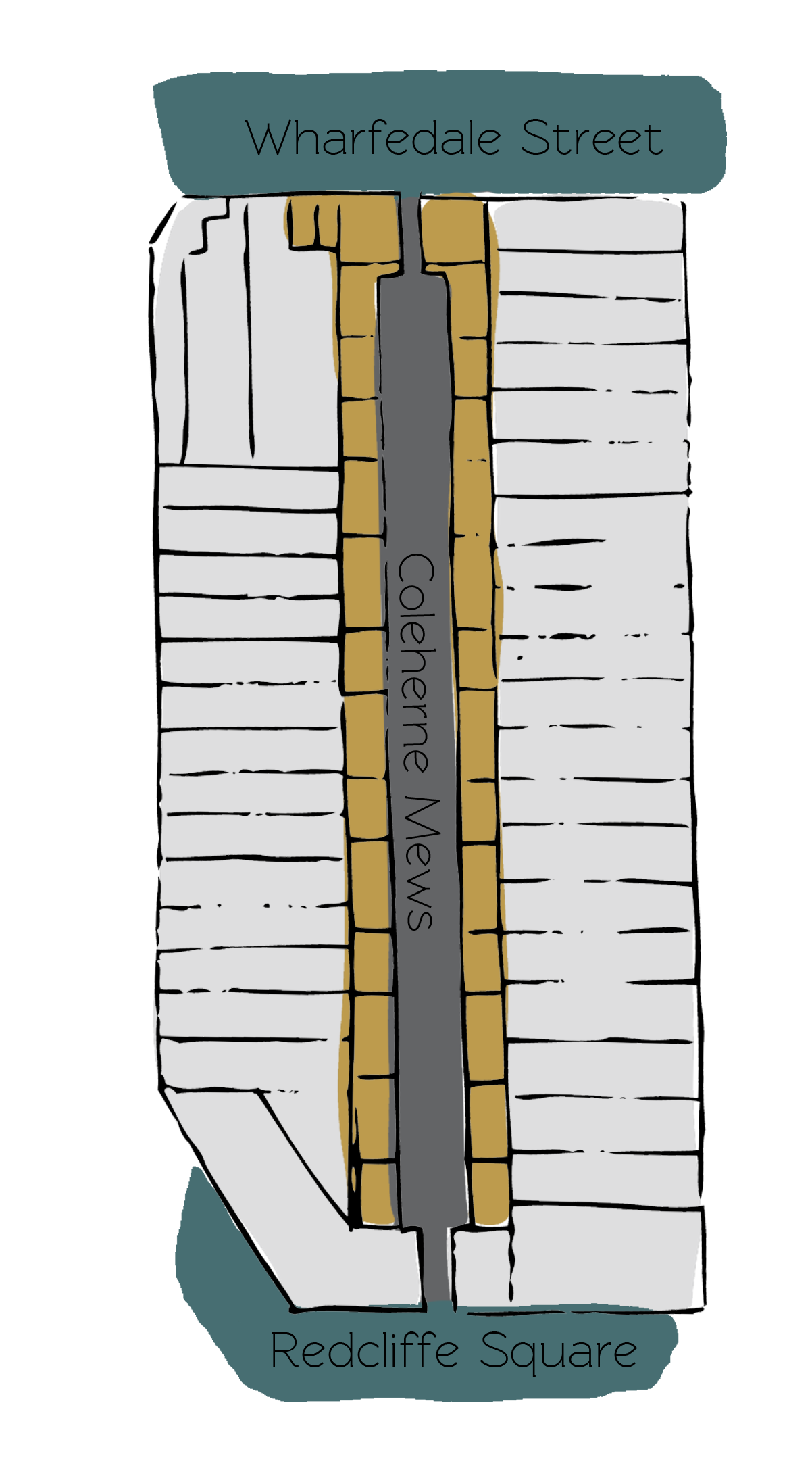
Coleherne Mews is a cobbled through road approached through an entrance under a building on Wharfedale Street and leading on to Redcliffe Square in the Royal Borough of Kensington and Chelsea. Coleherne Mews contains 30 properties, used for residential purposes.
During World War II, the Aggregate Night Time Bomb Census recorded a high explosive bomb falling directly onto the Mews. In the past, the area was noted as having comfortable living conditions and normal household earnings for the time when the London Poverty Maps were first published.
The Mews is part of Kensington’s ‘The Boltons’ Conservation Area. One of the more attractive of Kensington’s 32 Conservation Areas, it was designated in January 1970 and since extended to contain Dove Mews in the east and Seymour Walk in the south.
The two storey properties have plain or painted brickwork facades with mansard roof styles, surrounded by a cobbled road surface. There are lots of trees and plants present in the Mews.
Everchanging Nature
Originally used as the coach house/ stable accommodation for the main houses on Coleherne Road and Finborough Road, the primary purpose of the Mews properties is now residential.
Before and since 2003 there have been a few planning applications made for alterations to the properties in the Mews; mainly regarding new fenestration on some of the properties and garage conversions to additional residential living space. Conservation Area controls apply to any new development in the Mews.
Similar Listings