Property Description
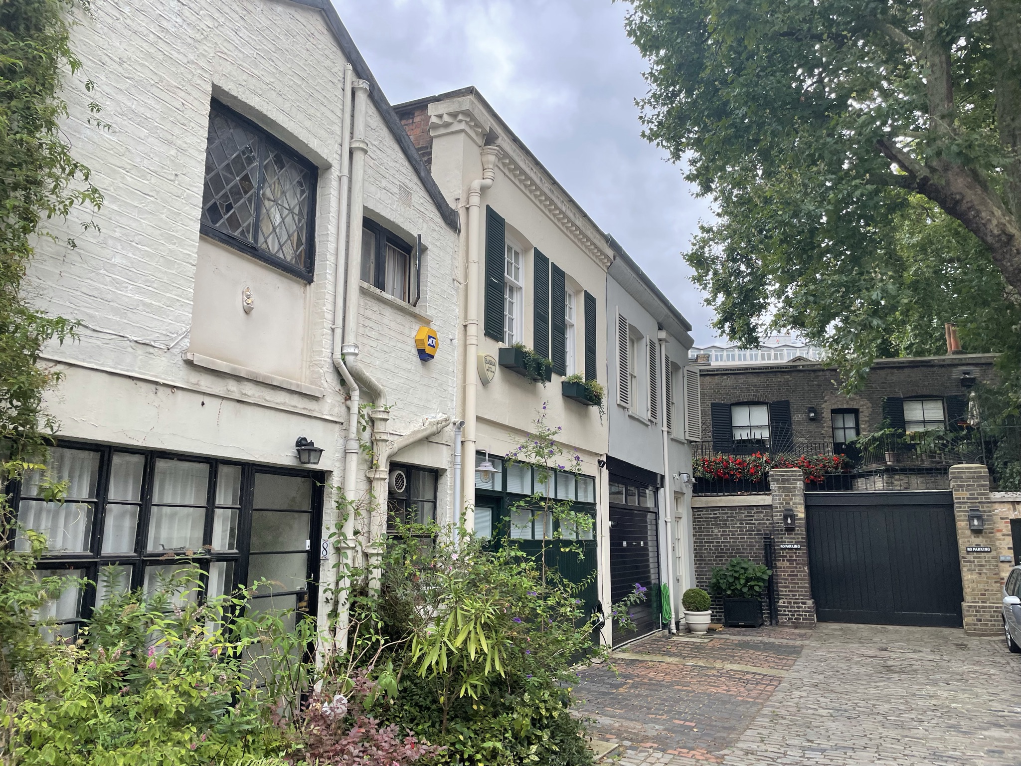
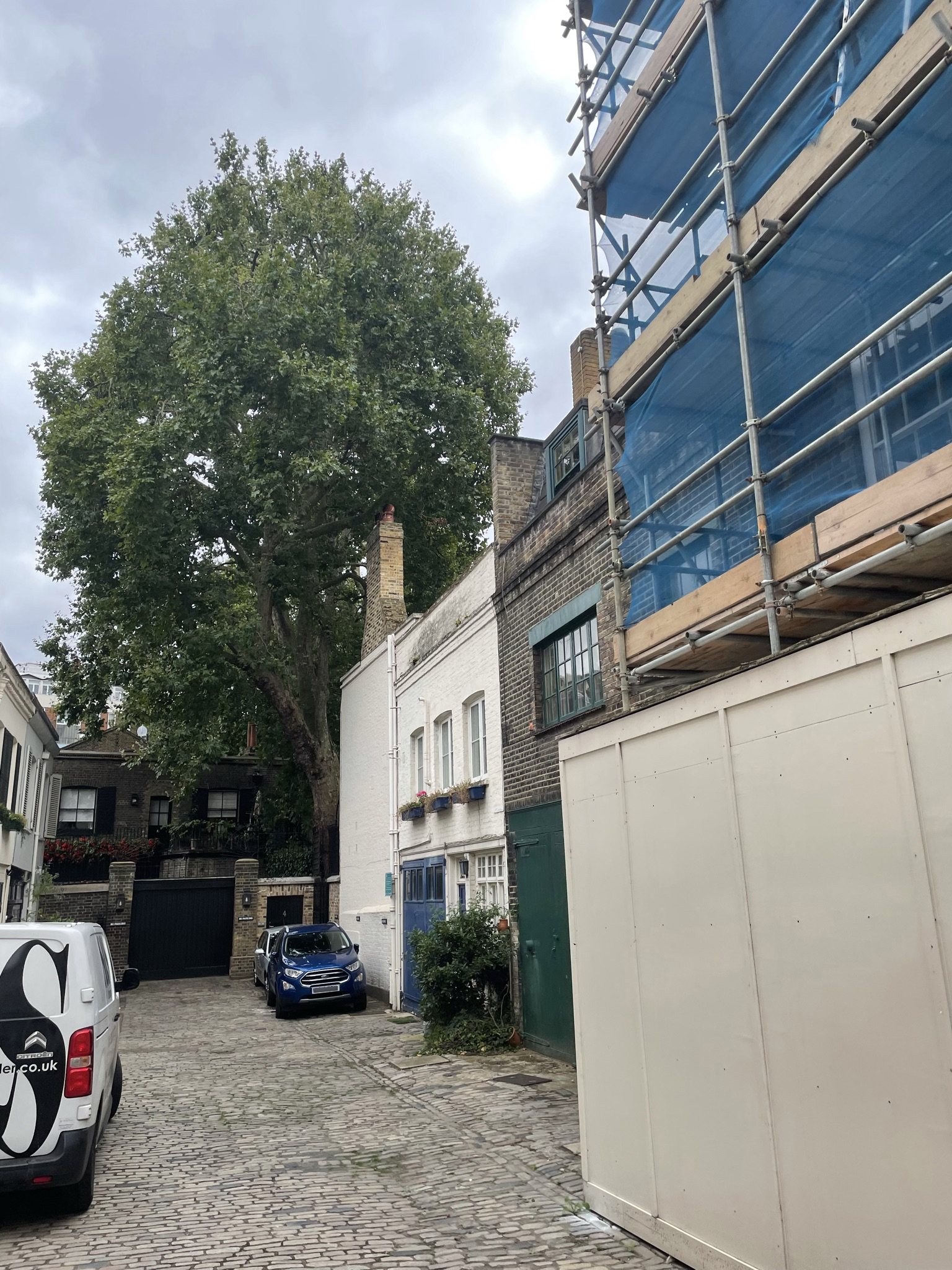
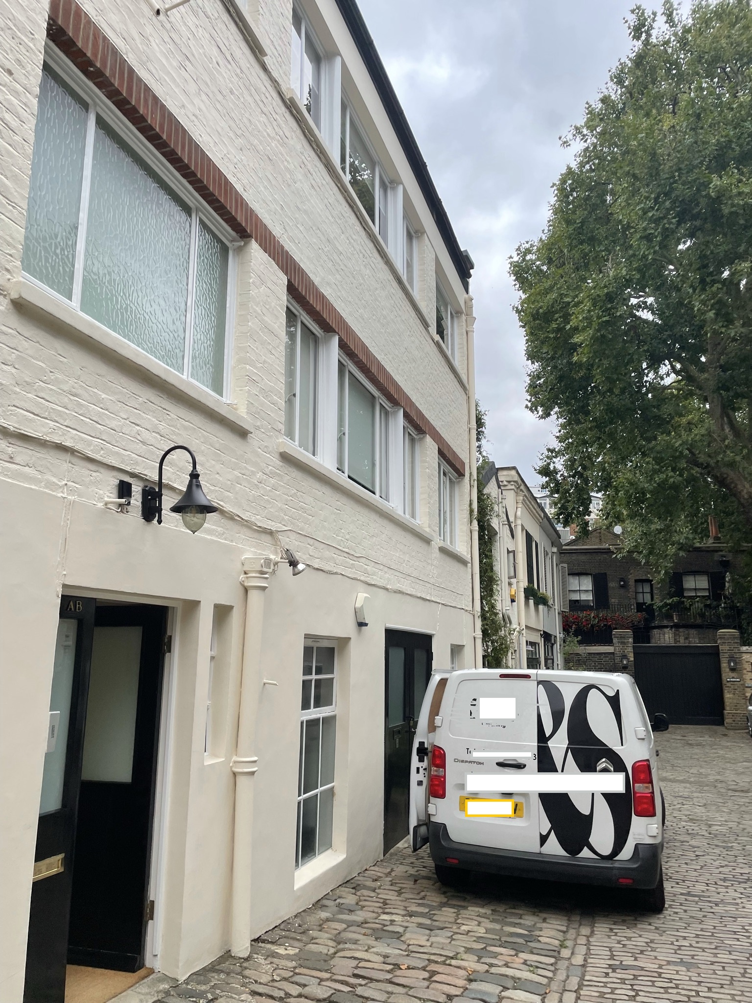
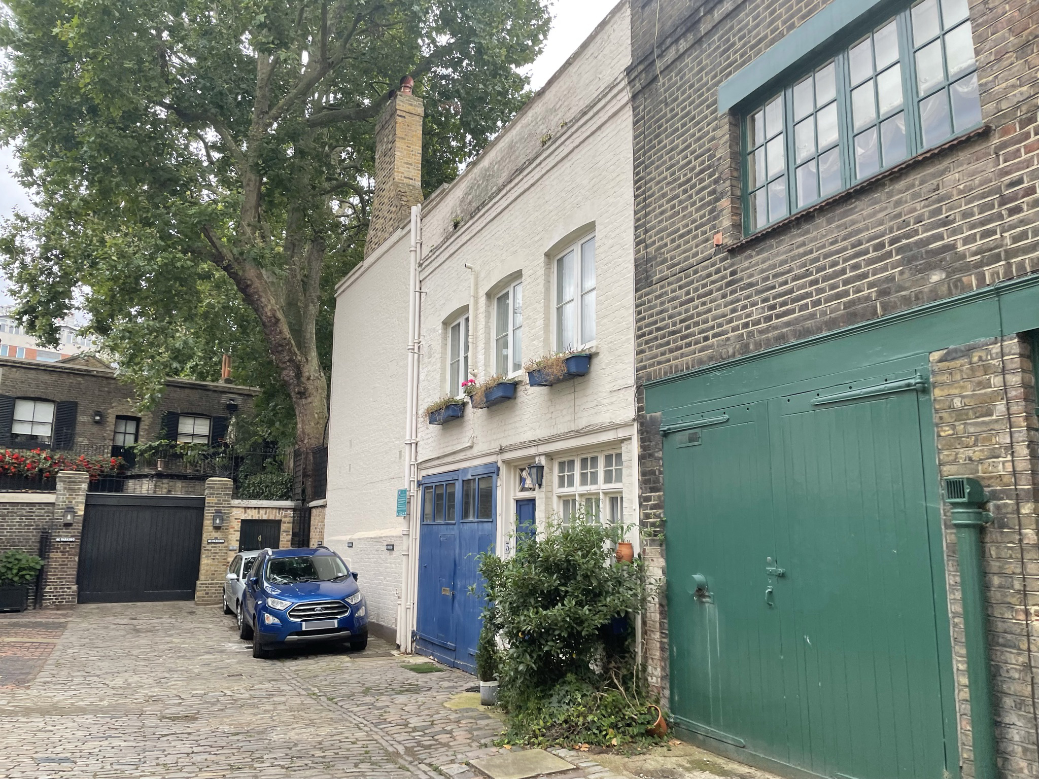
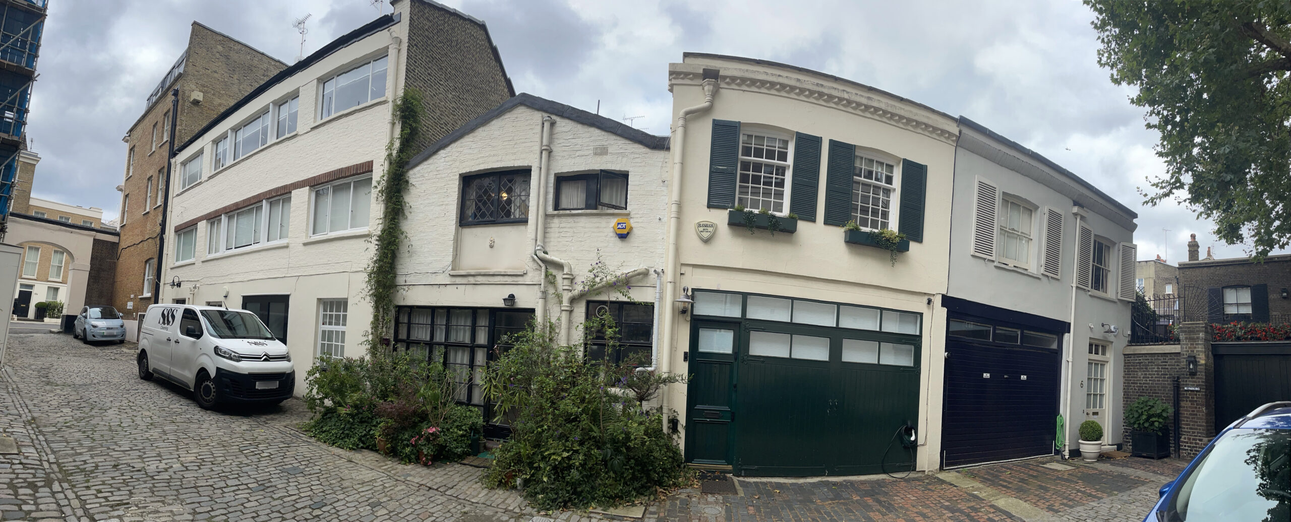
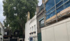
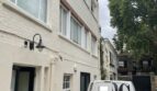
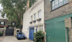
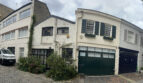
Chester Square Mews is a cobbled cul-de-sac, approached through its own arch off Chester Square in Westminster. The Mews contains 8 properties used for residential purposes and is oriented in a north-west to south-east direction.

In World War II, a high explosive bomb fell onto Lower Belgrave Street, north-west of Chester Square Mews. When the London Poverty Maps were published, the area was described as being comfortable with normal household earnings.
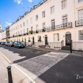
The Mews is part of Westminster City Council’s Belgravia Conservation Area. First designated in 1968, it was laid out as a fashionable residential area to the west of Buckingham Palace. There is a high degree of townscape uniformity and a formal layout based on a grid pattern. The area is predominantly residential with some shops on the edges. There are also a significant number of embassies, diplomatic buildings and institutional headquarters.
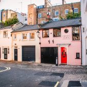
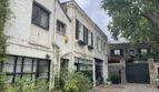
The Mews contains two and three storey, painted and rendered brickwork properties with a mixture of mansard, gable and parapet roof styles. The road surface is cobbled and garages remain intact.
Everchanging Nature
The original purpose of the Mews was to provide stabling for the surrounding properties in Chester Square but nowadays they are used for residential purposes. There have been very few planning applications made prior to 2003 with no details recorded of the outcome. Conservation Area controls now apply to any new development in the Mews.
Similar Listings