Property Description
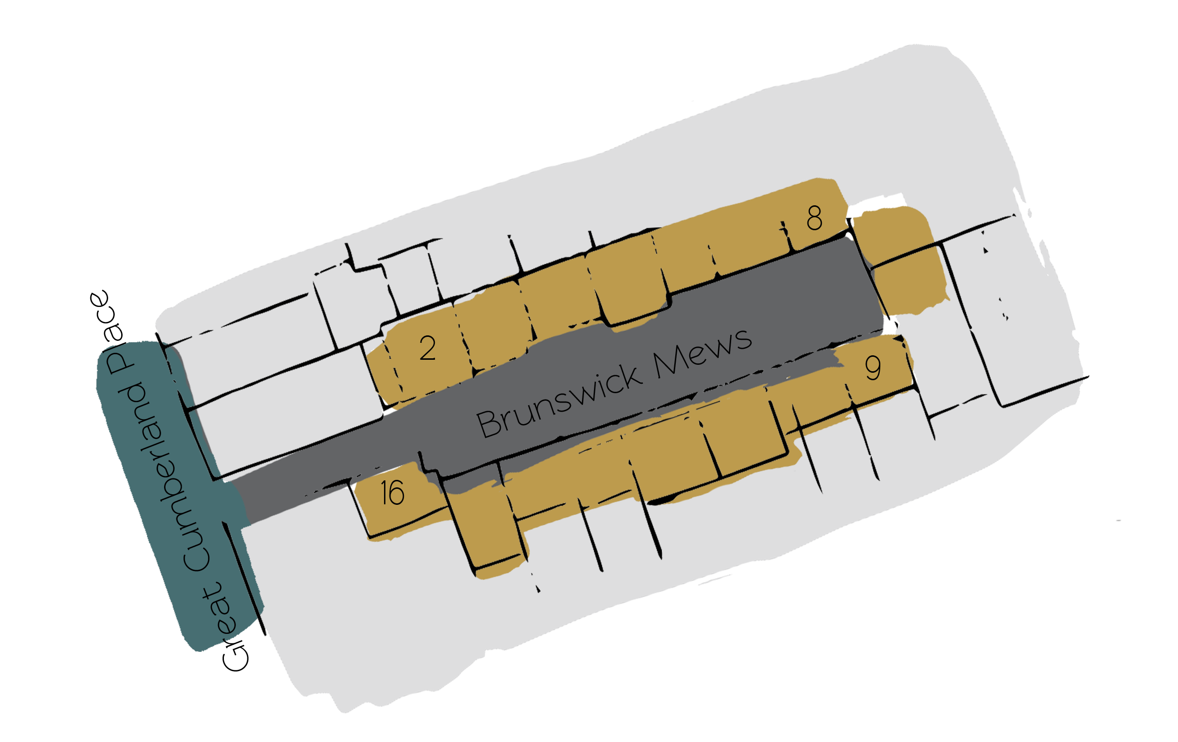
Brunswick Mews is a cobbled cul-de-sac, approached through an entrance under a building on Great Cumberland Place in the City of Westminster. The Mews contains 16 properties and is oriented in a west-east direction, opposite Wythburn Place, another original/ surviving Mews.
In World War II, a high explosive bomb is recorded falling directly onto Brunswick Mews, resulting in the buildings having to be rebuilt. The area was regarded as having comfortable living conditions when the London poverty Maps were originally published.
Brunswick Mews is a part of Westminster City Council’s Portman Estate Conservation Area. Situated in the boundaries of Marylebone, which was once covered with forest and marshland, the estate originally comprised about 270 acres and now contains a variety of buildings from different centuries, from many examples of Mews to the grand terraces of Bryanston Square and Montagu Square.
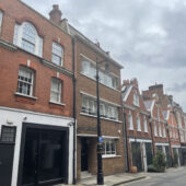
The Mews contains two and three storey, painted and rendered brickwork properties with a mixture of mansard and parapet roofs. The road surface is cobbled and parking is restricted. The properties are now mainly used for residential purposes.
Everchanging Nature
The Mews was originally the stable/ coach house accommodation for the larger houses in Upper Berkeley Street. Before and since 2003 there have been a few planning applications made for alterations to the properties within the Mews including garage conversions and changes to the facade and fenestration of the properties. Conservation Area controls now apply to any new development in the Mews.
Similar Listings