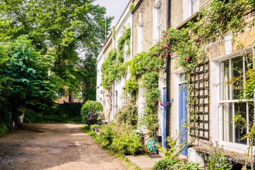
Property Description
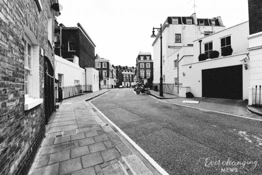
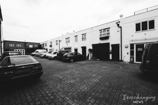
Kelso Place is a cul-de-sac, consisting of 4 parts off Stanford Road in the Royal Borough of Kensington and Chelsea. Kelso Place contains 59 Mews Style properties, used for residential purposes.

The Aggregate Night Time Bomb Census recorded a High Explosive Bomb falling directly onto the Mews between October 7th 1940 and June 6th 1941, causing significant damage to the properties. In the past, the area was noted as having comfortable living conditions and ordinary household earnings for the time when the London Poverty Maps were first published.
The cul-de-sac is part of the ‘De Vere’ Conservation Area; originally designated in 1969 as Kensington New Town, with the other two (Kensington Court and Cornwall) areas being designated separately soon after. In 1985, the boundaries were modified and revised.
The one, two and three storey properties have rendered or painted brickwork facades with a mixture of different roof styles, surrounded by a tarmacadam road surface and raised pavements. Intended to link with the properties further west of the cul-de-sac, the development was cut by the railway, which in turn destroyed the original houses built in 1851.
Everchanging Nature
The name Kelso Place was first recorded in 1853, with unknown origins. The cul-de-sac is Mews in style only; having no apparent equine history.
Before and since 2003 there have been many planning applications made for alterations to the properties within the cul-de-sac; most notably extensions, basement excavations and changes to the existing fenestration.
Conservation Area controls apply to any new development in the Mews.
Similar Listings