Property Description
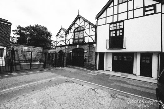
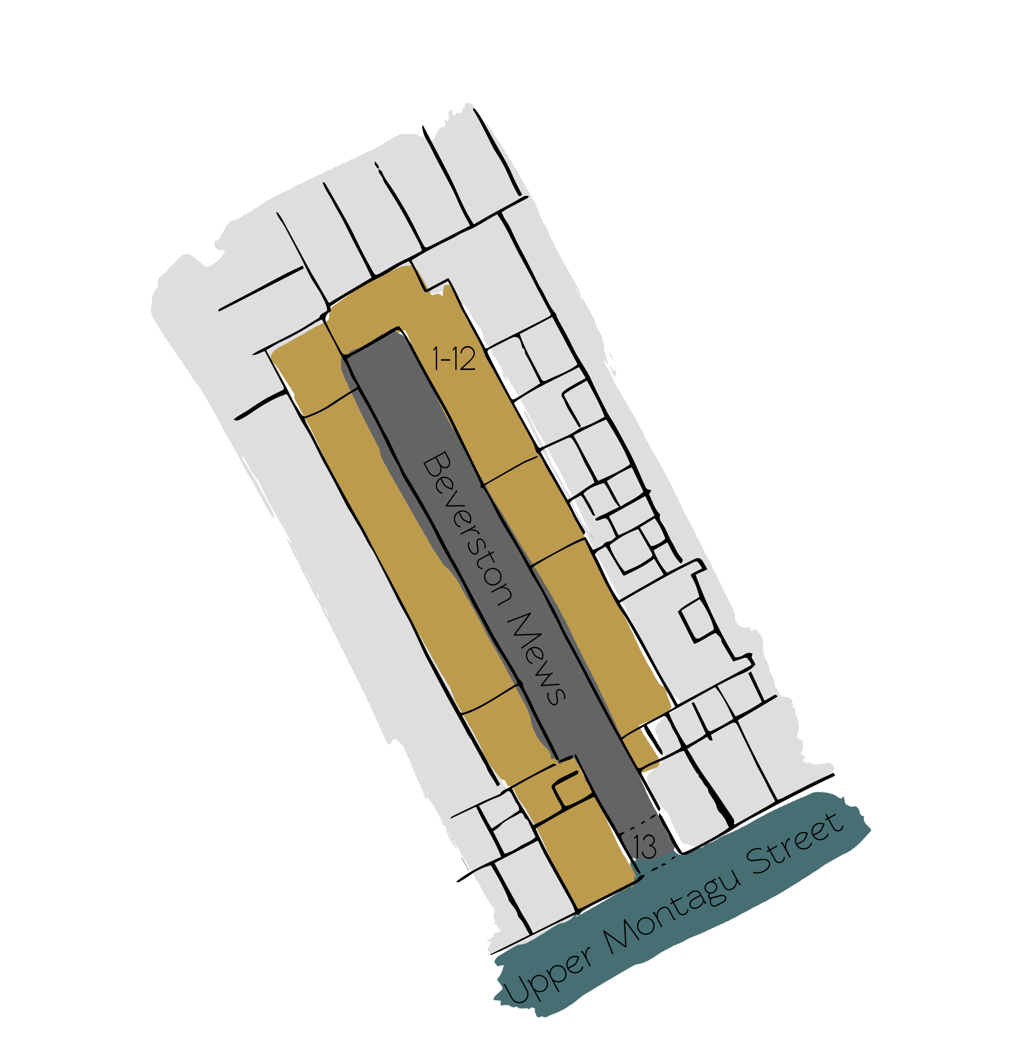
Beverston Mews is a cobbled cul-de-sac, approached through an entrance under a building on Upper Montagu Street. The private and gated Mews contains 12 properties and is orientated in a east-west direction, similar to Wyndham Mews that runs parallel and is also an original/surviving Mews. It is located on the site of an original Mews but has been re-developed to a degree that it no longer contains any surviving Mews properties.
A high explosive bomb fell onto the nearby Bryanston Square, Marylebone in 1940 but Beverston Mews remained intact. When the London Poverty Maps were published, the area was determined as being very poor.
Beverston Mews is a part of Westminster City Council’s Portman Estate Conservation Area. Situated in the boundaries of Marylebone, which was once covered with forest and marshland, the estate originally comprised about 270 acres and now contains a variety of buildings from different centuries, from many examples of Mews to the grand terraces of Bryanston Square and Montagu Square.
The plain brickwork, three storey buildings have mansard roofs and intact garages. There is restricted parking on the cobbled road surface. The mews has a locked gate and no pedestrian access. It was developed in 1995.
Everchanging Nature
The original purpose of the Mews was to provide stable/ coach house accommodation for the larger, main houses in Crawford Street but nowadays the Mews is used residentially. A few planning applications have been made since 2003 for minor alterations to the exterior and fenestration. In 2005, the entire Mews was redeveloped.
Similar Listings