
Property Description
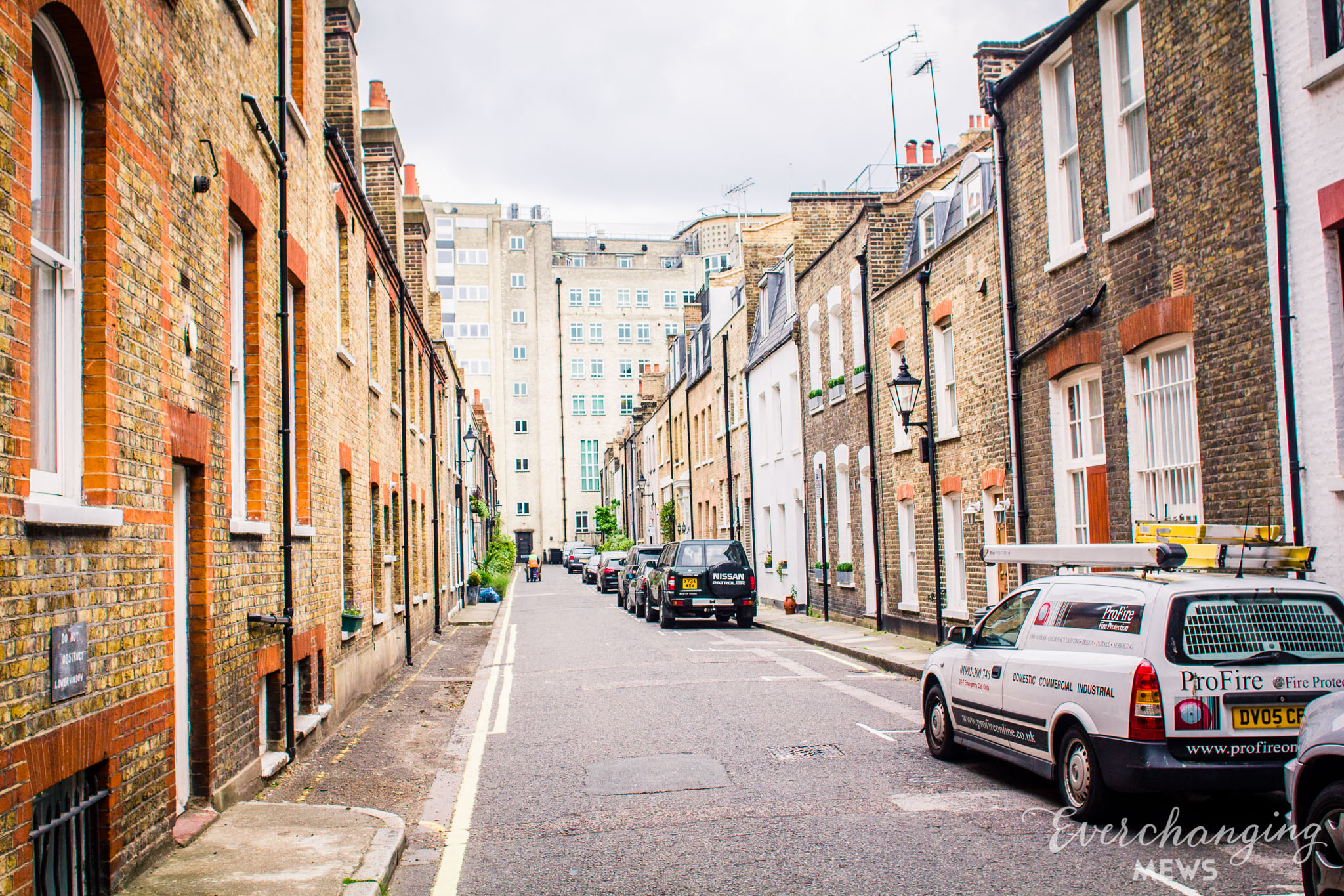
Bingham Place is a redeveloped cul-de-sac off Nottingham Street in Westminster. The street has 13 properties in it and was previously known as Northumberland Mews, although has since been redeveloped to a degree where no original features remain (including its original name). It is similar in terms of size, location and south-north orientation to the nearby Oldbury Place, an original/ surviving Mews.
In World War II, a bomb is recorded falling onto Nottingham Street, just below the street and presumably a number of properties had to be rebuilt as a result.
The cul-de-sac is recorded as having a mixed classification of poverty when the London Poverty Maps were first published. Some households had comfortable living conditions where others were seen as poor in comparison.
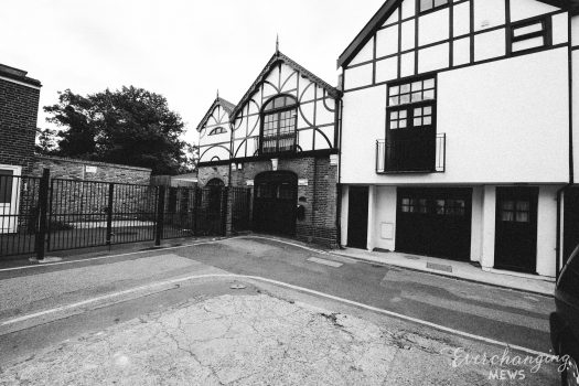
Bingham Place is situated in Westminster City Council’s Harley Street Conservation Area. First designated in 1968, the area is now dominated by terraced houses of different periods and different levels of social status. It retains a substantial medical presence, whilst offices predominate to the eastern edges.
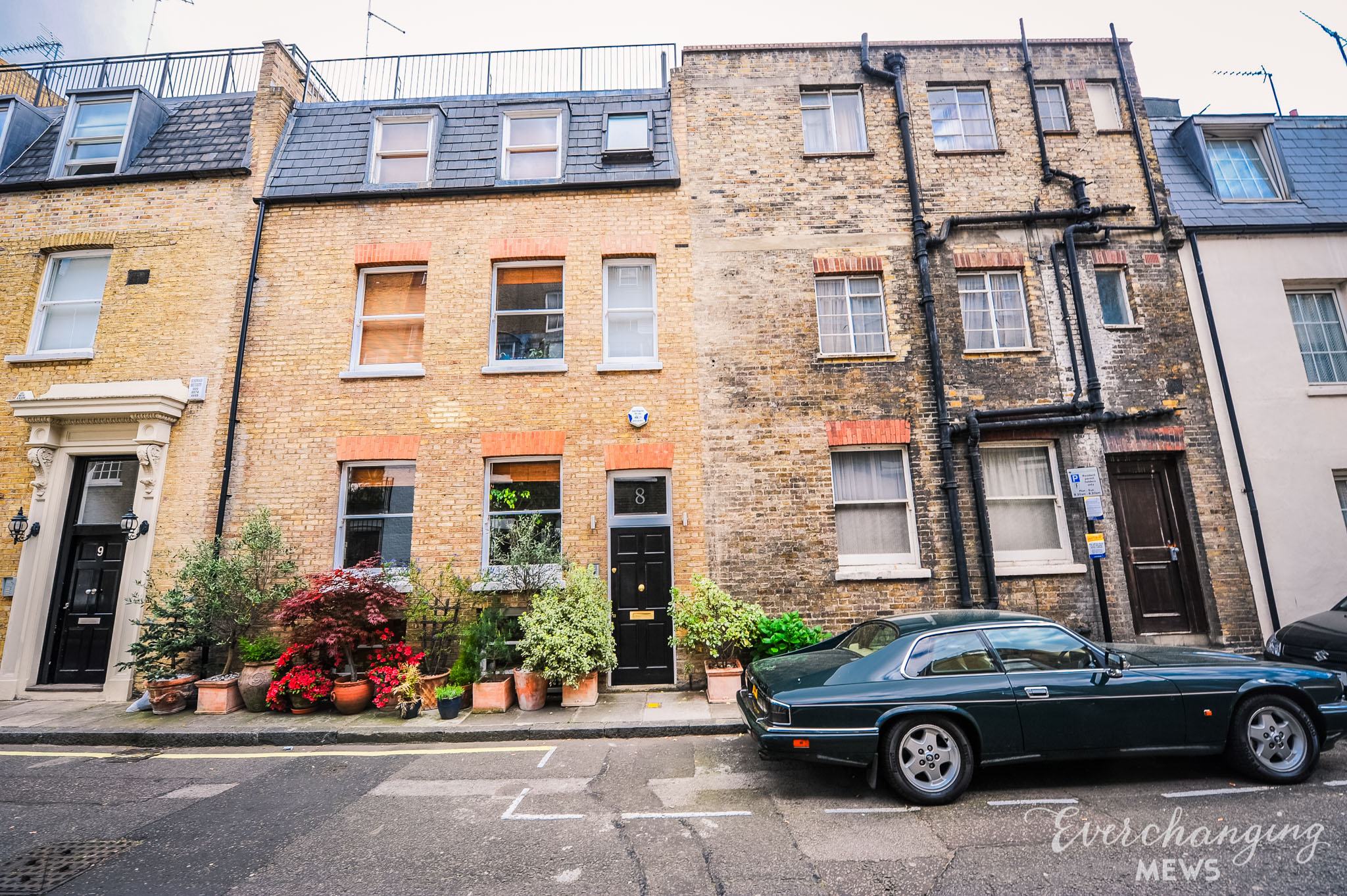
The two and three storey, plain brickwork properties have a mixture of mansard and parapet roofs and are surrounded by a tarmacadam road surface.
Everchanging Nature
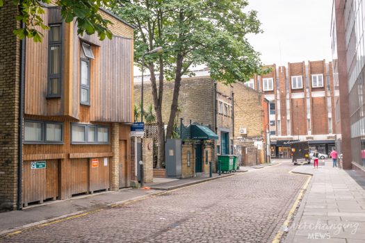
The mews originates from the 19th Century and contains small domestic buildings. Nowadays the street is still mostly used residentially, although some commercial activity takes place. A few planning applications have been made since 2003 for minor alterations to the exterior and fenestration.
Similar Listings