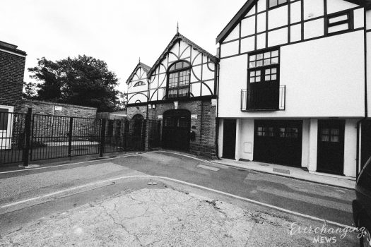
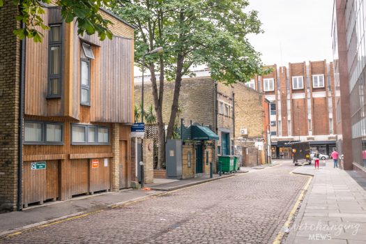
Property Description
Ramsay Mews is a private, cobbled cul-de-sac off King’s Road in the Royal Borough of Kensington and Chelsea. Ramsay Mews contains just 1 or 2 properties, used for residential purposes. It is located on the site of an original Mews but has been re-developed to a degree that it no longer contains any surviving Mews properties.
At some point between October 1940 and June 1941, a high explosive bomb fell just off Bramerton Street, south-west of the Mews and in the past it was noted as having comfortable living conditions and higher than average household earnings for the time when the London Poverty Maps were first published.
The Mews is not part of a Conservation Area.
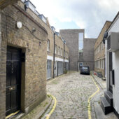
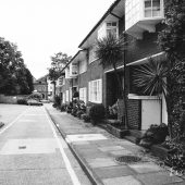
The two storey properties have plain brickwork facades. Not much else is known about the Mews as no access is permitted to the general public.
Everchanging Nature
Before and since 2003 there have been no planning applications made for alterations to the properties in the Mews.
Similar Listings