Property Description
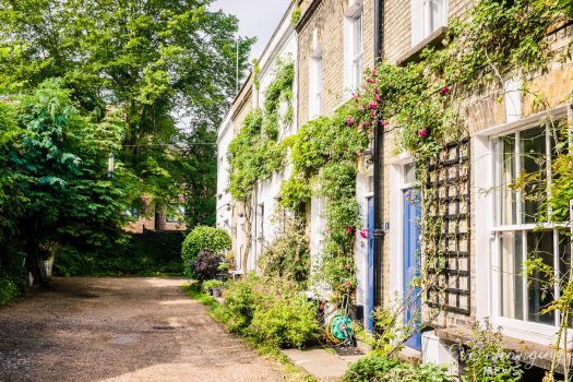
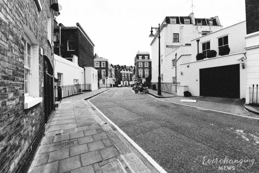
Bridstow Place, tucked between Chepstow Road and Hereford Road appears to have been built for people of more modest incomes compared to the typical inhabitants of the Westbourne Conservation Area at the time. Possibly many of them were employed in the surrounding, grander houses. The street is in a Mews Style, but has been opened out and made ‘street-sized’, with the properties being cottages rather than having equine history.
During World War II, a high explosive bomb is recorded falling onto Artesian Road, but Bridstow Place was largely unaffected. The through road is recorded as having a mixed classification of poverty when the London Poverty Maps were first published. Some households had comfortable living conditions where others were seen as poor in comparison.
Bridstow Place is part of Westminster City Council’s Westbourne Conservation Area. The area was transformed from a hamlet with fields in cultivation to a metropolitan suburb in the space of about 15 years, starting in the early 1840s. The houses in Westbourne were mainly built for prosperous professionals, explaining why there are only a handful of Mews spaces, though where these occur they have significant townscape value and historic interest.
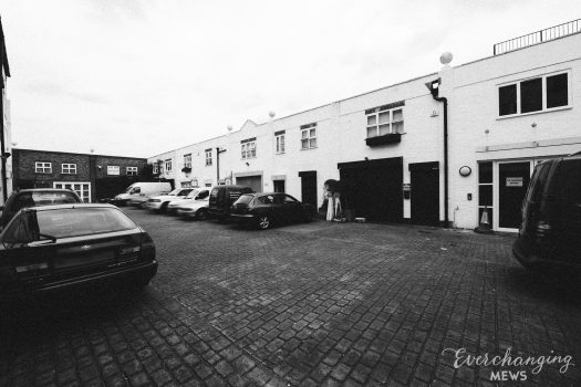
The through-road contains 31 properties, although, cottages as opposed to original/surviving Mews. The properties are positioned down one side of the street and are used for residential purposes. The two storey buildings have a variety of different roof styles and facades.
Everchanging Nature
Bridstow Place is now purely residential, with the properties being cottages/ modern buildings with front gardens. Conservation Area controls apply to new development in the street.
Similar Listings