
Property Description
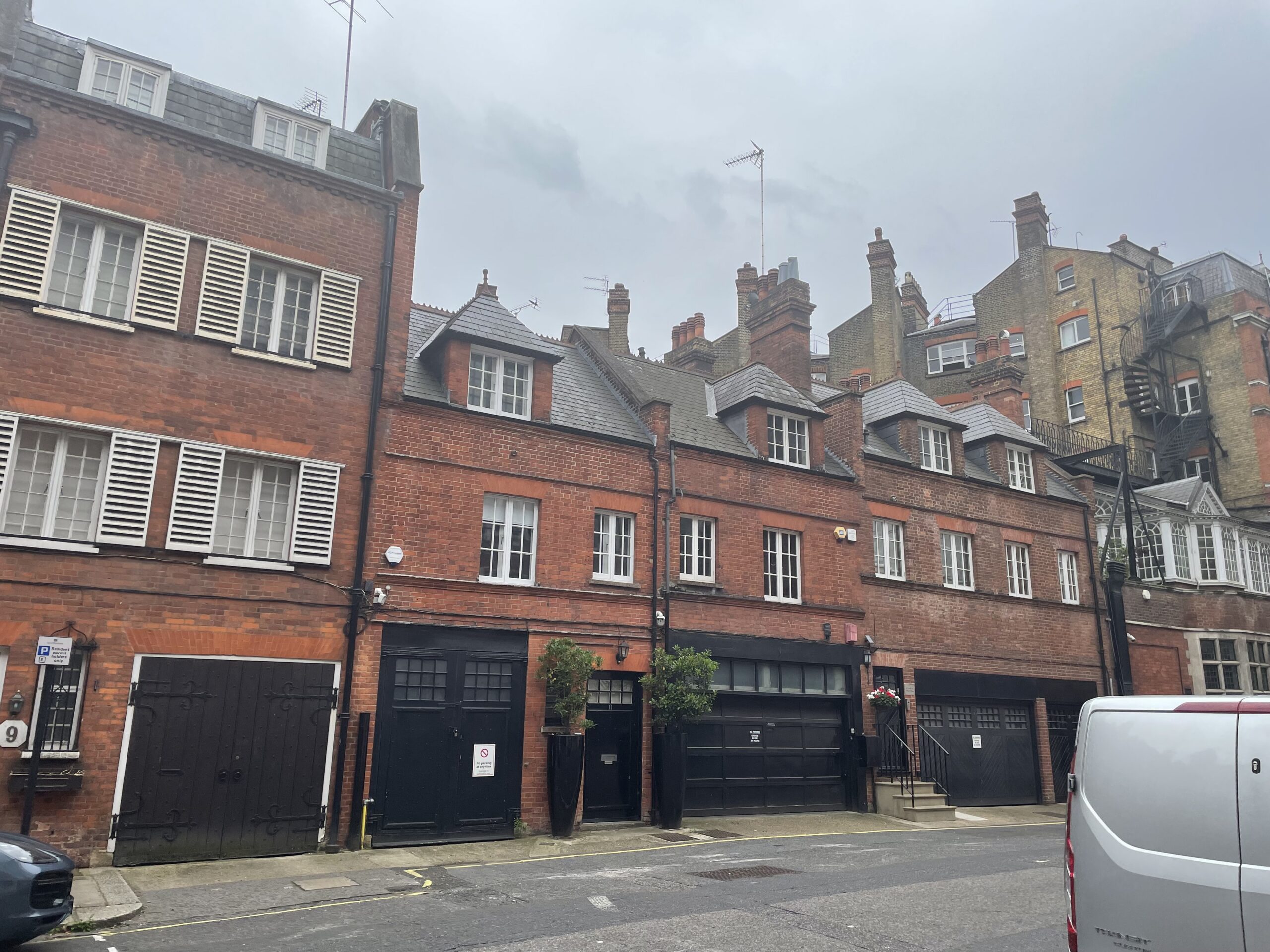
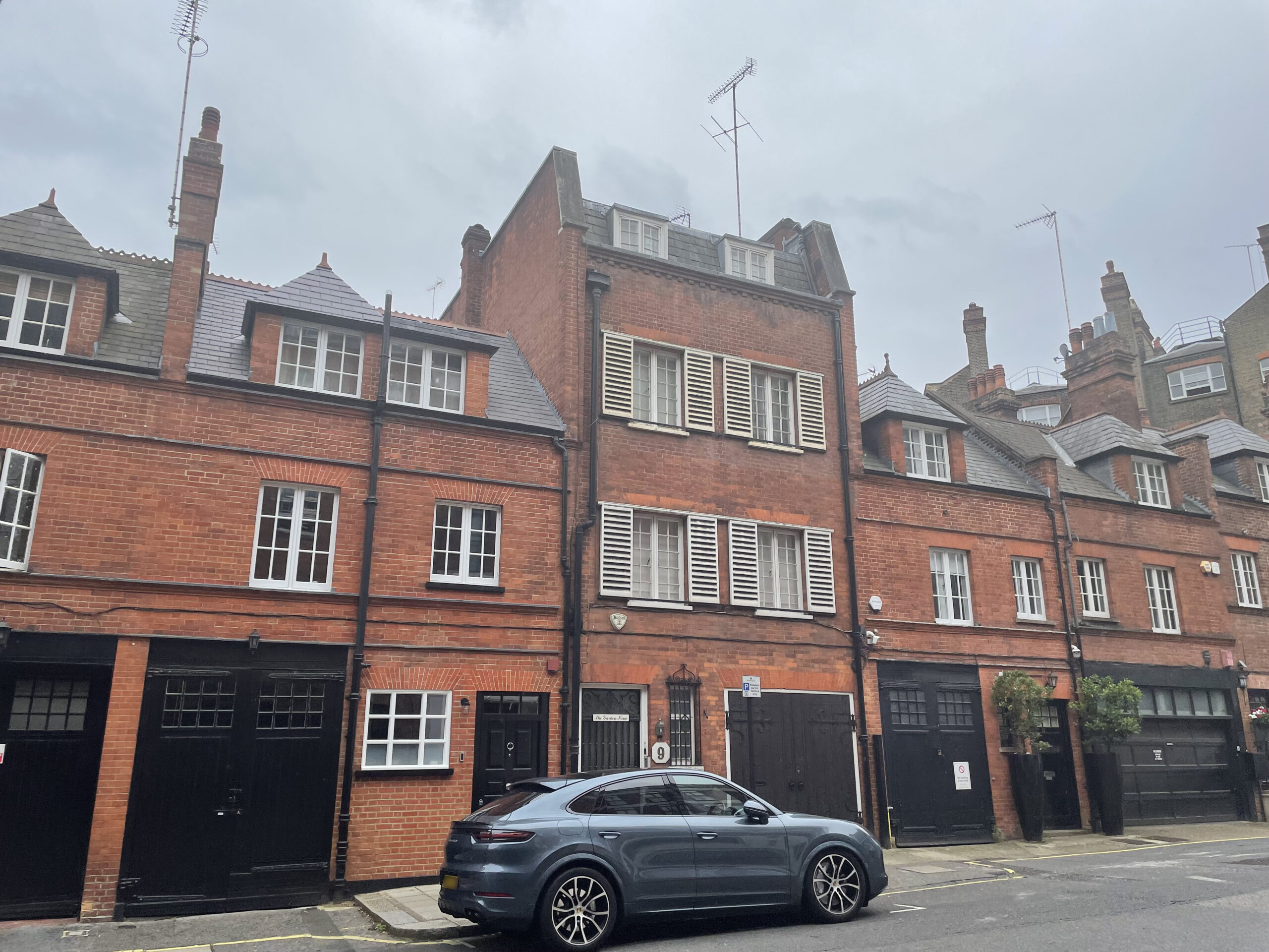
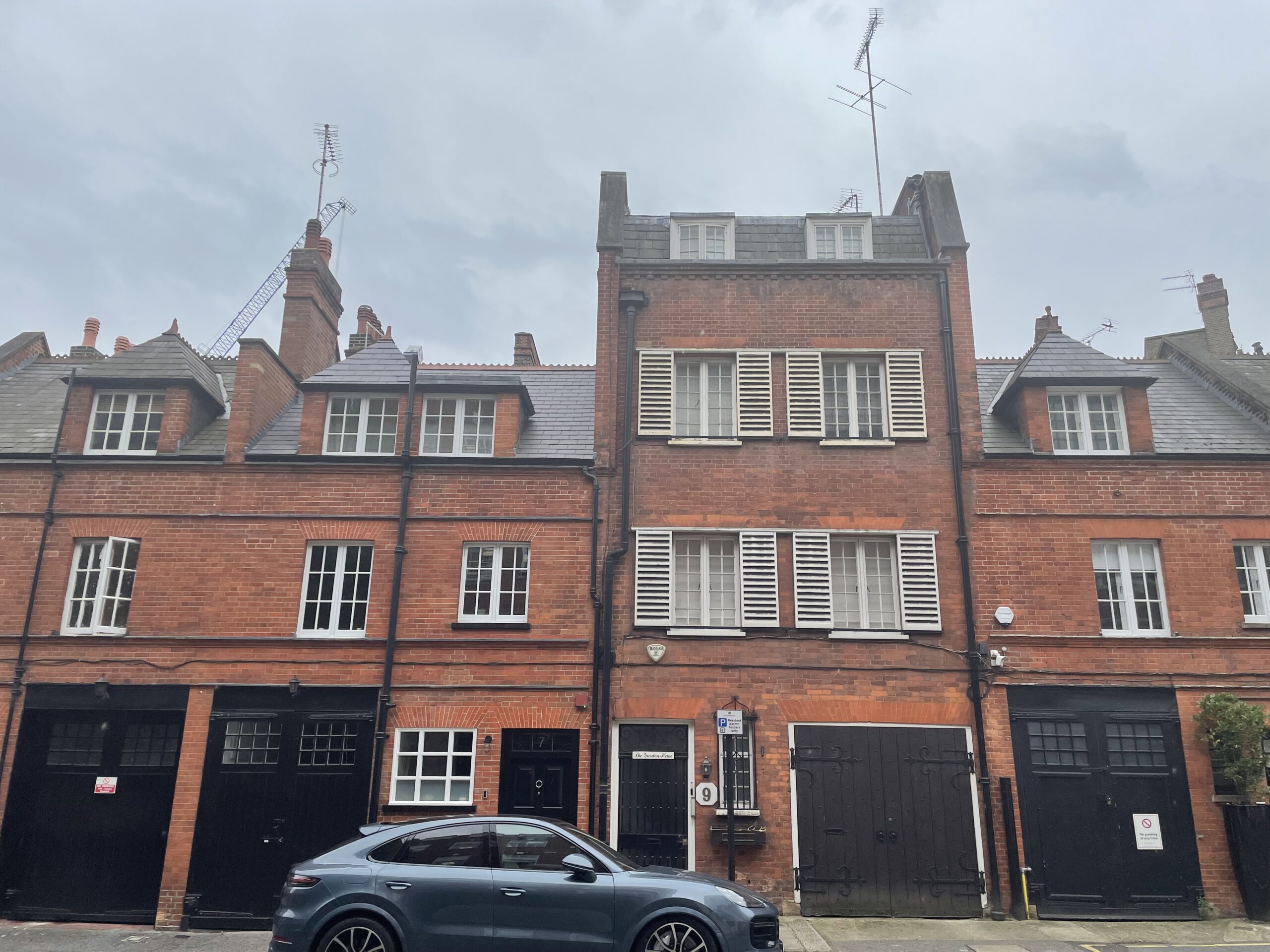
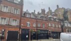
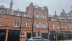
Mount Row is a through road between Davies Street and Carlos Place in Westminster, nearly in line with Adam’s Row, another original/ surviving Mews street. The Mews contains 16 properties, which are used for residential purposes.
Between 1940 and 1941, the Aggregate Night Time Bomb Census records a high explosive bomb falling onto Mount Street, just west of the Mews below Adam’s Row. When the London Poverty Maps were first published, the area was recorded as having comfortable living conditions and normal household earnings for the time.
Mount Row is part of Westminster City Council’s Mayfair Conservation Area. First designated in 1969, it derives its name from a fair held in the month of May in fields around the site of today’s Shepherd Market. The area is dominated by fashionable town-houses (and their mews) reflecting the history of English domestic architecture from the early 18th to the early 20th century.
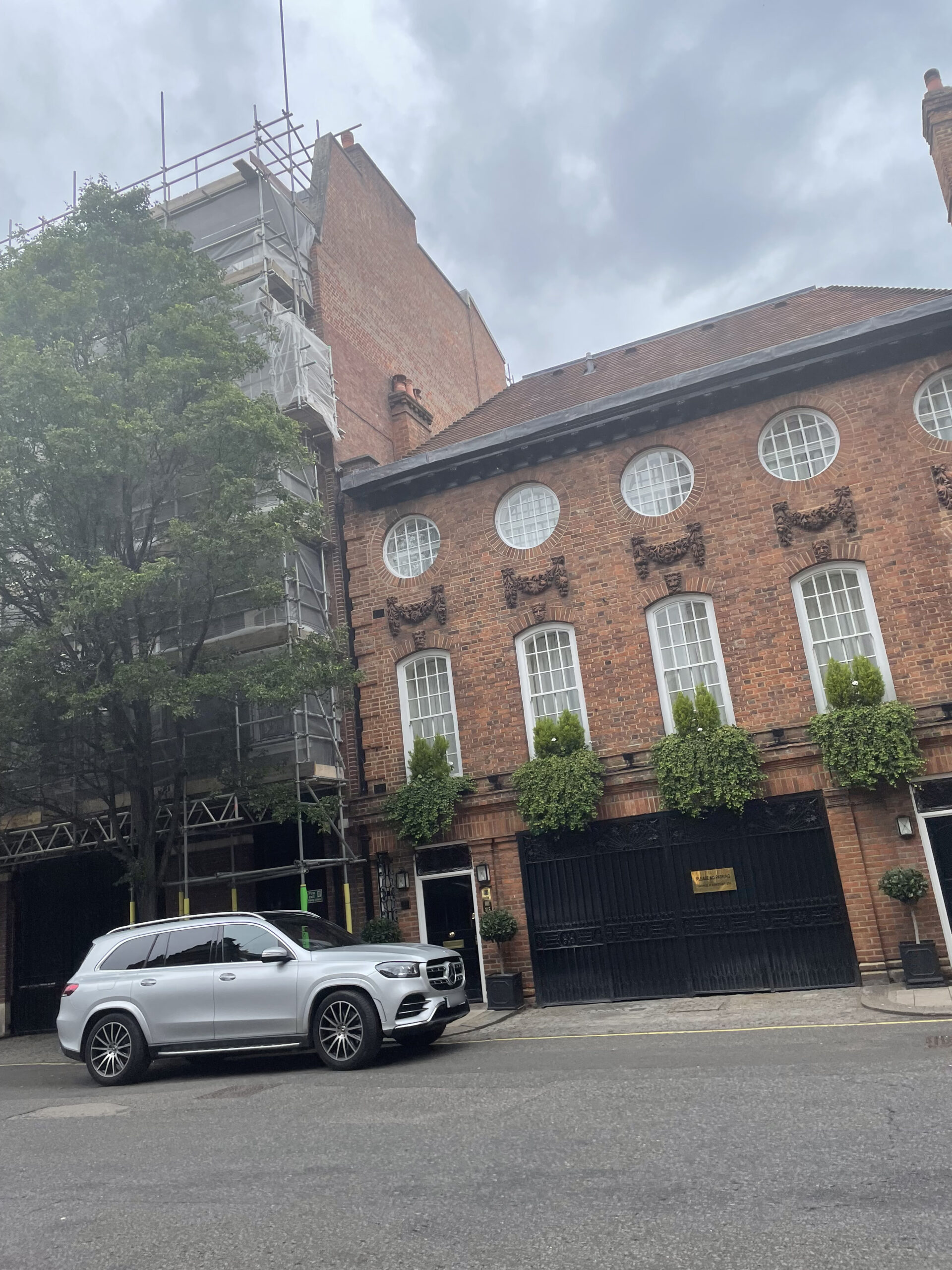
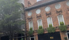
The Mews on the south side of the street, dated 1892-3 consist of three, four and five-storey, painted and rendered brickwork properties with mansard and gable roofs and both intact and converted garages. Numbers 12 and 14 Mount Row, built in 1927 by T P Bennett are Listed Buildings.
Everchanging Nature
Many planning applications have been made for properties in the Mews before and since 2003; basement excavations, changes to the fenestration and the complete demolition of many of the original properties. Conservation Area controls now apply to any new development in the Mews.
Similar Listings